Clutha region. Glorious short walks, whale fossils and quiet undisturbed beaches
Milton is a town with a passionate local community which boasts some great independent shops ranging from a butcher to quirky second-hand stores. Milton is a busy agricultural town in the Clutha District acting as a transport hub to interior Otago, Southland as well as the iconic Catlins tourist route. There is one of New Zealand’s unsung glorious beaches, Bull Creek and the nearby Taieri Mouth area to linger in. Milton is home to a nationally significant wetland with its numerous birds making it a hot spot for birders of all stripes. New Zealand, South Island is a magical visitor destination, away from the madding bustle of tourist hot spots with nature offering glorious highlights for discerning visitors to relish the open spaces.
Best time to visit Clutha
Year round with waterproof layers and merino wool for winter
Weather in Clutha
-
LAKE WAIHOLA
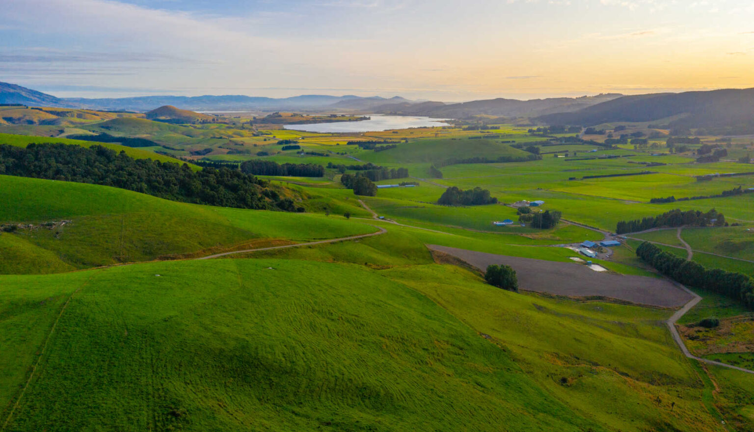
Lake Waihola is a tranquil lake. A favourite for photographers due to its reflections. It is a popular destination for rowers, kayaking trips and swimming. There is a holiday park nearby.
-
WHALE FOSSILS – MILBURN LOOKOUT
Over 170m above sea level is an outdoor exhibition display of lime and phosphate workings. During this period 24-34-million-year-old whale and dolphin fossils were found in the nearby lime quarries. The area also has a lookout over Lake Waihola.
-
MT STUART RESERVE
(managed by Clutha Local Council) Woolshed Valley Track
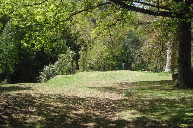
Woolshed Valley Track is a restored track in the Mt Stuart Reserve. The native bush trail follows the Tokomairiro River. The shallow river water is a favourite spot to observe fish lazily swimming. The Mount Stuart Reserve is a popular spot for fishing. Remember you need a licene to fish. NZ Tree registers for two giant sequoia, giant redwood, Sierra redwood, Wellingtonia The tallest of two giant sequoia at Mount Stuart Recreation Reserve. The information panel says that the area has been a popular picnic spot since the 1890’s. The trees are part of the original old homestead garden adjacent to the reserve. The other tree, nearer the road, is much larger in girth and a favourite for wedding photos.
- Length: varies from 1 ½ km to 3km
- Grade: Easy
- Toilet: Compostable
-
MT STUART RESERVE TUNNEL (GLENORE)
Mount Stuart Tunnel (Glenore Tunnel) railway tunnel for the Tokomairiro–Lawrence Railway. It was constructed between 1875 and 1876 and measures 442 metres in length. The entrance is accessed by a reasonably easy walk that leads through native and exotic bush. The tunnel itself is generally damp and cool, so suitable clothing and footwear is required, and a torch is recommended. Glow Worms can be seen at various points along the ceiling of the tunnel.

Check with the local visitor centre before departing as the tunnel can be closed with fencing as a safety precaution.
-
BULL CREEK BUSH WALK
Walk to a small and picturesque beach on the Bull Creek Bush Walk. Gorgeous coastal bush to one of the coast’s prettiest beaches, the unspoiled Bull Creek Beach. The beach is ideal for swimming and picnics. There is a safe bay for children to swim, while fishing off the rocks is also popular.
- Length: ½ km
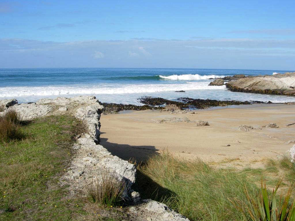

Photo moment: A great spot for photographers with sandy foreshore, picturesque rocky outcrops and native reserve framing the entrance to the beach.
-
MCNALLY TRACK
Let’s get an aerial view of the district. Naturally it involves a hill climb and is moderately steep. The looktop is spectacular with a panoramic horizon encompassing Milton, farmland, forests and coastline. Park cars either side of the road, at the beginning of the track’s signage or in the cemetery car park.
- Length: 7km
- Duration: 3 hours
- Grade: Moderate

There is vehicle access to the lookout!
-
SINCLAIR WETLANDS – BIRDING HOT SPOT ALERT
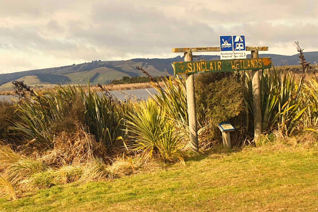
The wetlands are between Lake Waihola and Lake Waipori. The network of river channels, natural swamps and clear waterways is over 315 hectares. The two shallow lakes drain and filter their waterflows through the wetlands into the Waipori River then the larger Taieri River. Vegetated islands, meandering water channels and lagoons are a significant waterfowl habitat. There are well formed boardwalks, tracks and trails. An educational centre is the focus of school and visitors. There is a visitor car park with signs indicating the length of each walk. For families it is an excellent introduction to natural wetlands on the 2km trail.

Ram Island (Whakaraupuka), the site of Tukiauau’s pa.
-
TITRI CREEK CONSERVATION AREA – BIRDING HOT SPOT ALERT
Wading birds from marsh crakes/koitareke, fernbirds/mātā, scaups/pāpango,and grey teals/tētē. The track is surrounded by native vegetation, including the threatened wetland nettle. An observation platform offers a good view of one of the largest sections of open water in the wetlands. There is a 10 minute walk from the carpark, on Titri Road, over Titri Creeks to a viewing platform.
-
TAIERI MOUTH
Taieri River Track & Millennium Trail.
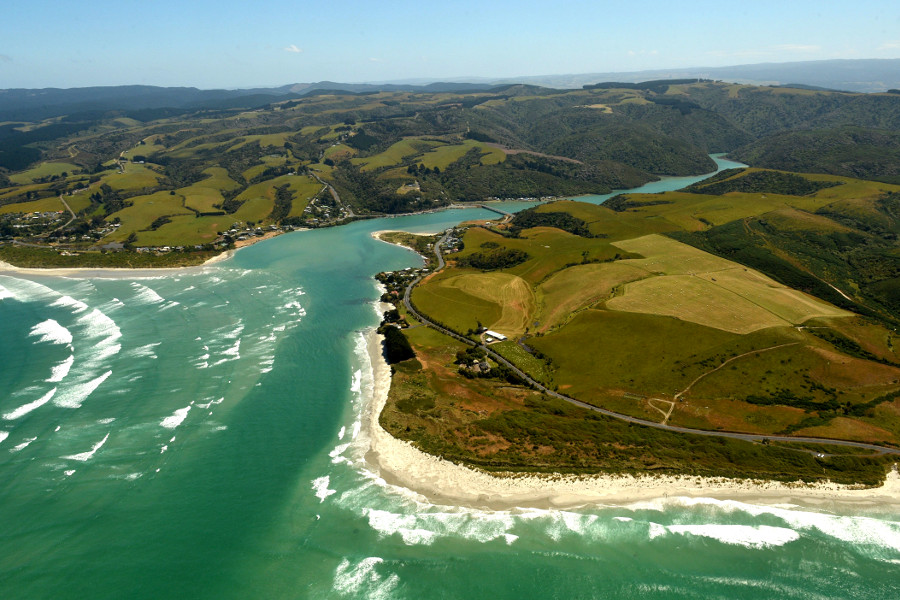
Follow the Taireri River through the gorge and observe freshwater and saline vegetation due the tidal nature of the river. The track climbs through a regenerating healthy podacarp forest with Halls totara, tree fern undergrowth and Kahikatea, New Zealand’s tallest native tree. The track drops down to John Bull Gully picnic area. You can return on the same track or continue on the Clutha Millenium track linking with Taieri Ferry Road.
- Length: 8km
- Grade: easy
Taieri Mouth – John Bully Gully track
- Length: 6km
- Dual: cycle / walking track
- Grade: easy
-
PICNIC GULLY
South of the bridge at Taieri Mouth is an easy flat walk. The track crosses private farmland and through patches of native bush.
- Length: 1.5km
- Grade: Easy
10 family walks to explore near Milton location
BEST BITS TRAVEL GUIDE


