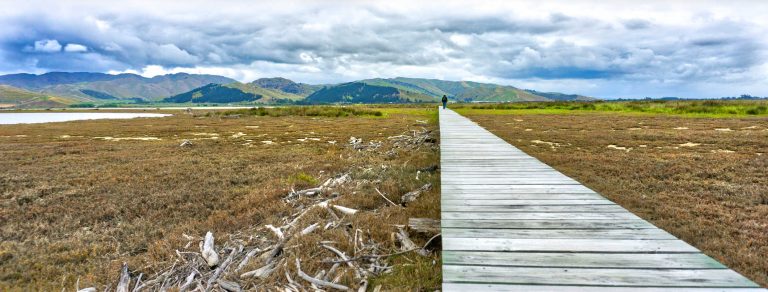
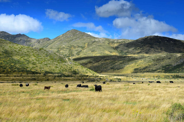
Brilliant every day
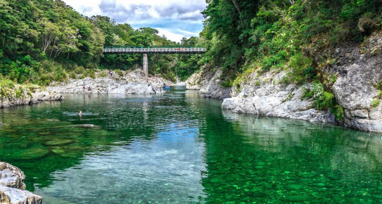
Brilliant sunny weather is the perfect recipe for a picnic. Marlborough offers a beautiful Edwardian-inspired public park, several river spots with deep crystal clear water and beaches for a classic summer day to picnic under shady trees.
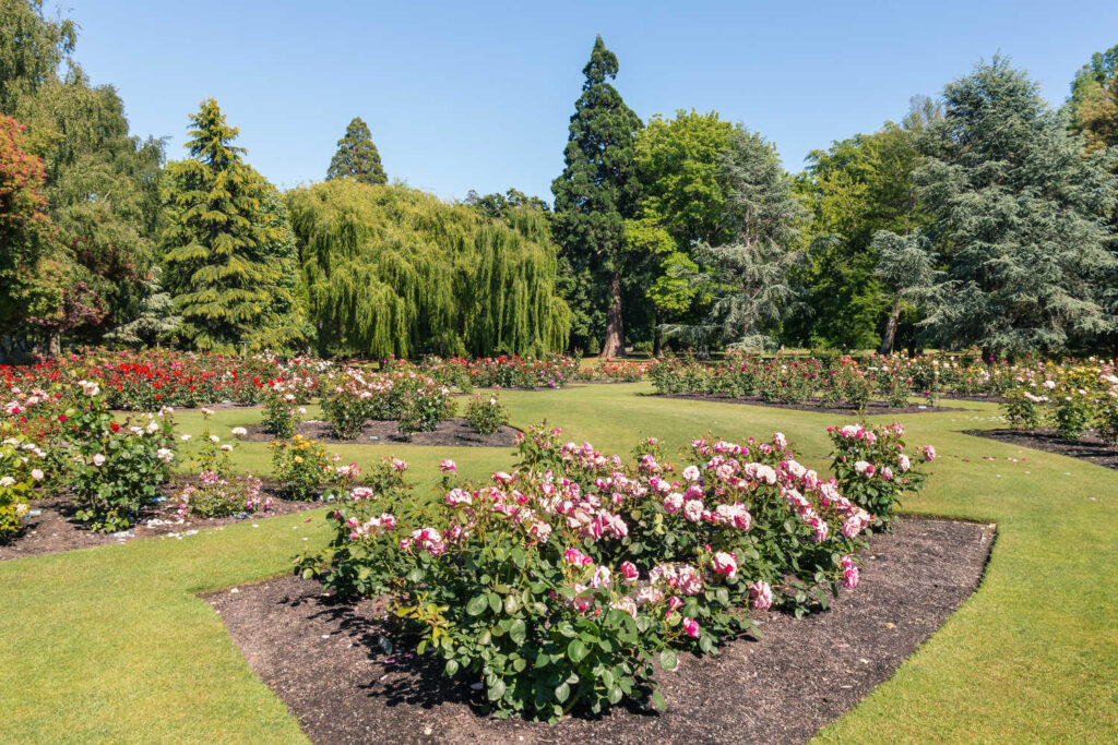
Blenheim Pollard Park
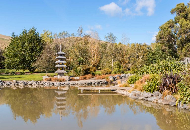
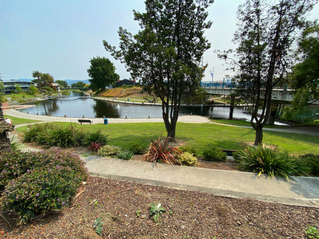
A classic garden setting for a picnic with a contemporary playground, duck pond and shady walks among the flowering beds. The park includes the Blenheim Golf Course, formal and informal plantings, an extensive rose garden, a stream, a section of native plants, and numerous mature trees creating shady corners.
Open 24 / 7 Public toilets and drinking fountains are available. There are designated dog walking areas (on a leash).
Meretoto Ship Cove
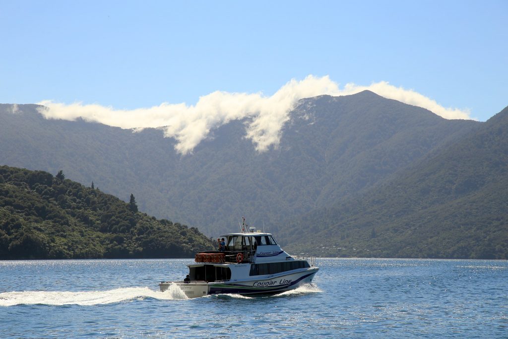
Hop aboard Cougar Line Marlborough cruise through Queen Charlotte Sound. The destination is Ship Cove. You have time to explore the beach, picnic at waka shaped tables and enjoy a 30 minute walk to a nearby waterfall. For the historically minded Captain James Cook spent over 100 days in the area on his multiple visits to the Pacific. Toilet facilities and shelter are available
Duration: 8.30 to 2.30 pm
Beaches
Swim, picnic and relax on a summer’s day on Marlborough beaches. Although largely absent is the sheer golden glory of Nelson’s beaches, Marlborough beaches offer consistent weather, a lack of crowds and the charm of bush, water and wharfs to jump off.
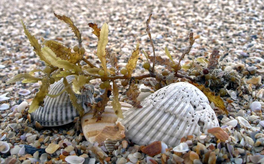
Shelly Beach – Picton
Picton has a beach as its front door step, complete with a port and marina to one side. The beach has a swimming platform, an area marked with buoys for safe swimming and a luscious swath of grassed foreshore. There are picnic tables, a convenient fish n chip shop and palm trees for shade. Perfect and you haven’t even left town.
Governors Bay track – Picton
A short steep scenic walk to a small sandy beach. The isolated beach has clear shallow water with quintessential Marlborough Sound views of yachts and bush. There is no drinking water available. The small bay has a rocky foreshore at the edges with marine life to explore at low tide. Facilities include picnic tables and a public toilet.
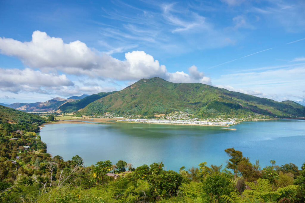
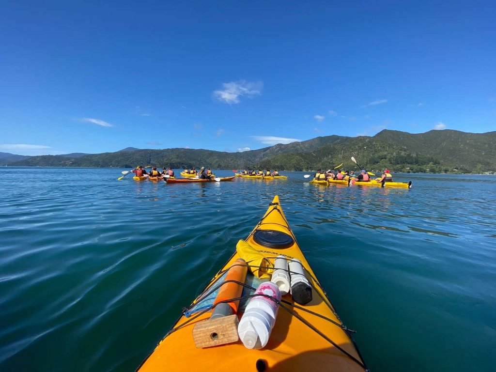
Anakiwa – Queen Charlotte Sound jetty & beach
Anakiwa’s wharf is a local favourite for water bombing. There is a car park, shelter, and toilets. Anakiwa is home to the Outward Bound Adventure Centre and an endpoint for the Queen Charlotte Track. From the wharf, you can catch a boat to Picton. Spend the day jumping off the wharf, fishing from the wharf, people watching the activity of visitors as they lace up their boots for a multiple-day tramp while you are relaxing in the shade. The actual beach is not crowded at all. Best visited between high tide to mid-tide. At low tide the silty bottom means a long walk from the shore to the water’s edge.
Kumutoto Bay
Kumutoto Bay Picnic Area is a picnic site in Marlborough. The bay has two arms with the scenic reserve, on the northwestern side. The bay with its sheltered aspect has a number of yachts anchored and the wharf and ramp are popular with boaties. Most of the beach is underwater at high tide. The bay has a public wharf and at low tide water is approximately 1 metre depth. There are public toilets. The pretty small reserve Kumutoto Bay campsite is a great picnic spot. Check DOC resource for up to date information.
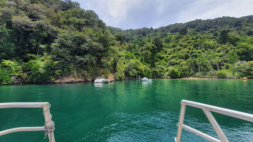
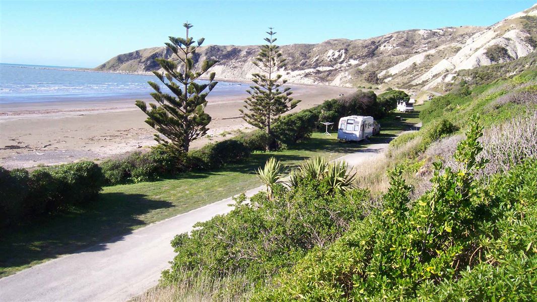
Marfells Beach – Clifford Bay, Seddon
The Department of Conservation campground is situated adjacent to a quiet sandy / gravel shallow beach. Marfells Beach Campsite is a popular place for surfcasting (fishing). After your picnic walk along the beach at low tide to Cape Campbell Lighthouse. Facilities include picnic tables, tap water and toilets. Note, the area tends to be windswept. For visitors interested in Lake Grassmere check out where the drying water pans for salt production are a vivid pink. Check DOC resource for up to date information.
Lake Grassmere
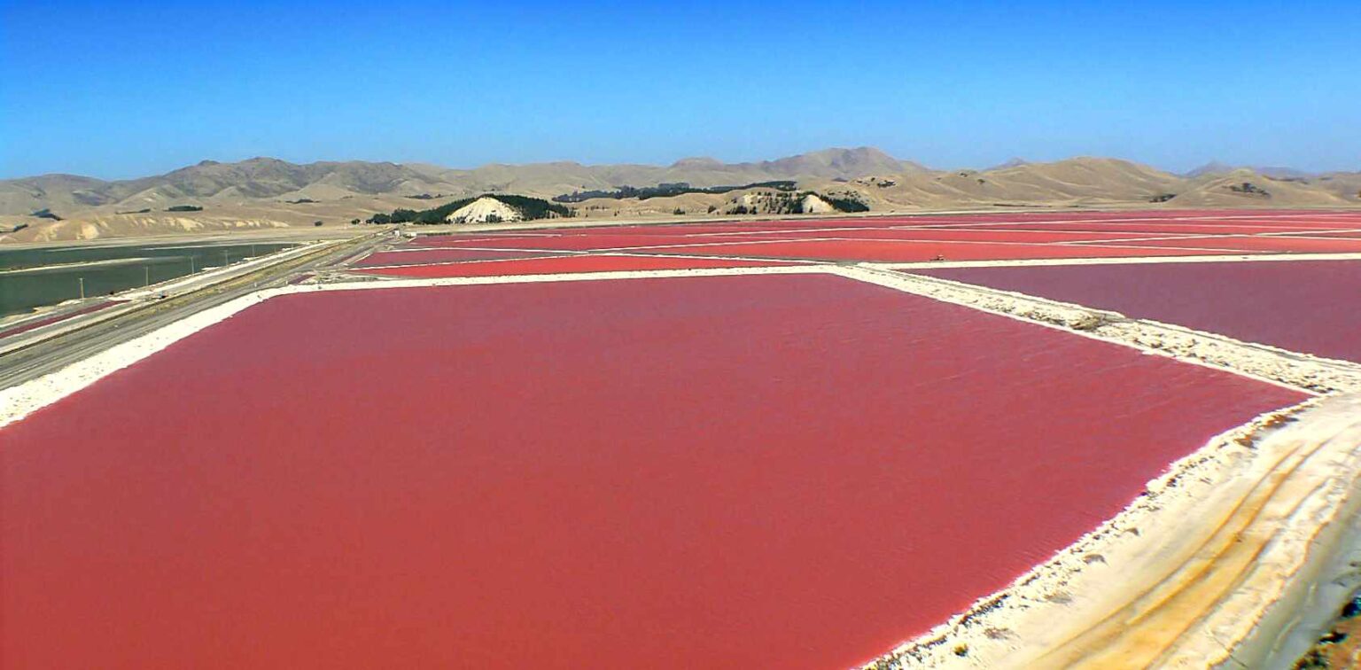
For those interested in salt production you are passing Lake Grassmere, the largest producer of sea salt in New Zealand. It is an extraordinarily beautiful sight with large uniform shallow ponds deepening to a vivid pink as they evaporate the sea water. Then you view enormous mounds of triangular shaped salt. Dominion Salt is a pioneer in solar salt production. Leaders in the World’s Most Essential Mineral.
Currently there are no tours of the production facilities however take the signposted road to the salt works. If you email Dominion Salt about the possibility of a tour please keep us posted with your comments. Drive past the salt works to Marfells beach. You can walk to the beach for views of the sea inlet and salt pans. The view is beautiful. The glimmering pink tinted salt pans with the mountains framing the background is a great photo opportunity.
Port Underwood coastal bays
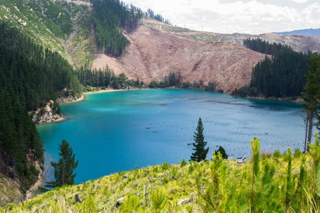
Over 65 km of narrow winding gravel road to Port Underwood. This is definitely off the beaten track connection between Picton and Blenheim, Marlborough.

Look for abandoned whaling pots. There were many whaling stations along the Marlborough coast during the 1830-47 whaling era, the whales passed close by on their migration north through Cook Strait to warmer waters. Today the tiny bays with their clear water are home to holiday beaches and a few permanent residents.
Getting from Picton to Blenheim
Picton to Port Underwood to Robin Hood Bay to Blenheim
Port Underwood route camping options in Marlborough
The Department of Conservation managed camping grounds. All campgrounds are basic with first come, first served entry. There are public toilets and non-potable water available.
Want to camp in a heritage site?
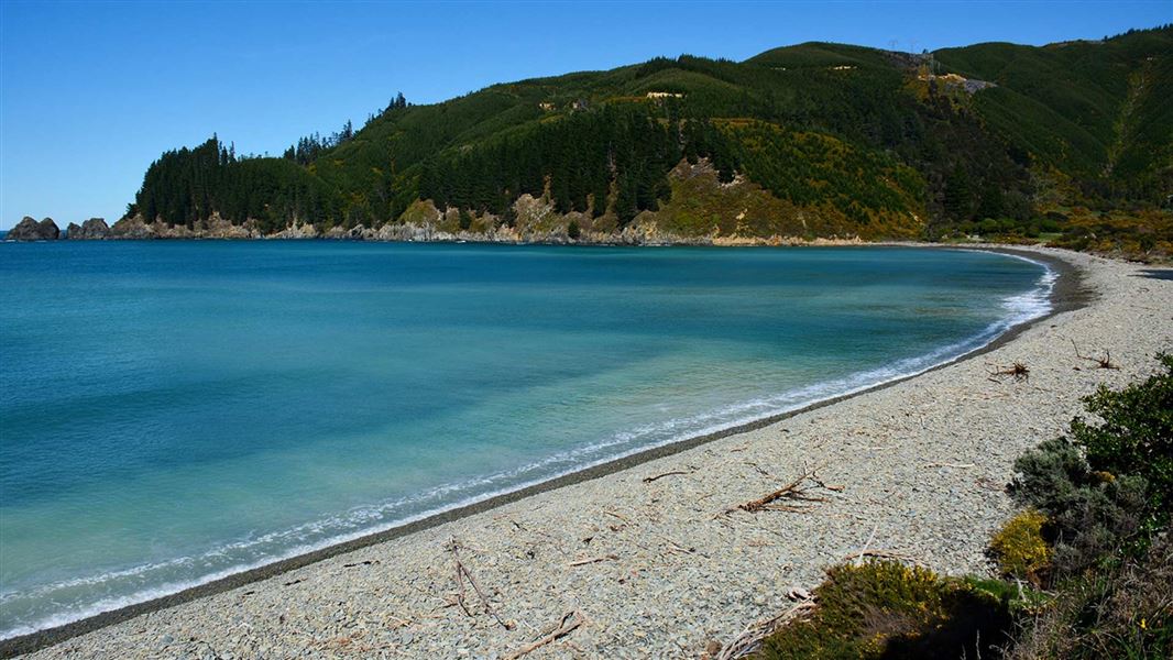
Department of Conservation Pukatea / Whites Bay is a DOC camping ground, and an old telegraph office, which was the site of the first telegraphic link between the North and South Islands in 1866. The campsite is basic, first come, first served with no forward bookings. For camping details check Whites Bay conservation campsite: Blenheim area, Marlborough region. This camp has lovely scenery and is close to a surf beach at Pukatea/Whites Bay. Go walking, fishing, swimming or kayaking from here. Walking track Black Jack Lookout loop to view Cape Palliser, Port Underwood, and possibly the interisland ferry
Other bays include:
- Rarangi Campsite – Blenheim Rarangi Beach: DOC campsite on a shingle beach. Walking access to sandy Monkey Bay. Look for a plaque describing Daddy Watson’s cave.
- Robin Hood Bay conservation campsite: Blenheim area, Marlborough region. Low tidal pools are a favourite for the kids.
- Whatamango Bay conservation campsite: Queen Charlotte Sound area, Marlborough region. Basic campground approximately 15 -20 minutes drive to Picton ferry.
Check DOC resource for up to date information.
Rivers Marlborough NZ
Locals enjoy finding a river to cool down in the hot summer months. Here are some local favourite river swimming holes for visitors to explore. Pack the picnic bag (remember to cover food at all times to avoid summer wasps invading your picnic location), swimming gear and sunscreen + insect repellent.
Wairau River ferry bridge
A bridge to jump off, clear flowing river and plenty of space for a picnic under the trees is the makings for a great picnic spot. Splash under one of the bridges, or follow small side roads to find swimming holes. The small sandy beach is complete with a picnic area and parking. There are no toilets or change facilities at this location.
Wairau River Spring Creek 7273
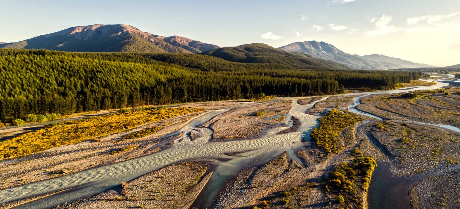
There are many swimming holes along the Wairau River between Renwick and Blenheim. Most of the river bed is gravel however at the junction of State Highway 6 the river bed is sandy. The Spring Creek swimming hole is deep with a moderate current. This is not a place for inexperienced swimmers or kids who are learning to swim. Confident swimmers who can tackle moderately flowing rivers and easily swim will enjoy the refreshing dip in river water. There are no toilets, change facilities or drinking water available at this location.
Wairau River (Blenheim Rowing Club)
Wairau River is a favourite fishing and boating location and is loved by water sport enthusiasts. A public boat ramp is located near the Blenheim Rowing Club building. Paddocks and willow trees line one side of the river and grassy banks line the opposite side. There are no public toilets and change facilities at this location.
Wairau River at Blenheim Rowing Club | Swim Guide
Taylor River at Riverside Park
The location is a popular place to launch kayaks, there have been issues with water quality. Taylor River at Riverside Park is sampled weekly from November 1st to March 30th.
There are toilets, changing rooms and nearby cafes.
Waihopai River, Craiglochart swimming hole
The river pools are a local favourite. There is a sand spit creating shallow safe swimming areas for kids to paddle in. The deeper pools and shallower pools means there is a swimming spot for all abilities. Care is needed in the deeper pools for inexperienced swimmers. The beach is gravel and reasonable footwear is required to transverse the uneven ground. The area is surrounded by native bush. Fires and BBQs are permitted with a permit, making this a favourite picnicking and swimming hole. There are no toilets or change facilities at this location. The area is known to have a littering problem which is perennially tackled by the local council.
Check swim guide for water quality Waihopai River at 2 | Swim Guide
Location: On the Waihopai Valley Rd, and then right after the second bridge, called Craiglochart No 2.
Timms Creek, Mt Richmond Forest Park
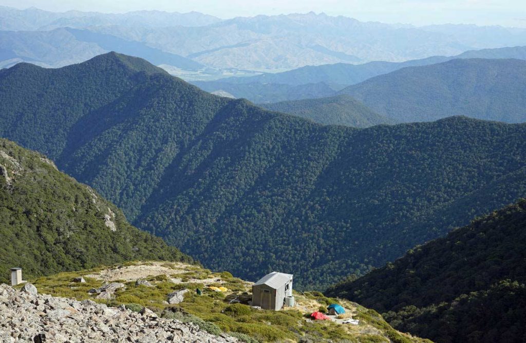
Timms Creek in Mt Richmond Forest Park is a pristine mountain creek tributary of the Wairau River. This is a destination in itself with a 40 – 50 minute walk to the creek. The car park is primarily for trampers who are embarking on the 10.9 km walk to Mt Fell Hut. For information about Mt Richmond Forest Park access. Check DOC resource for up to date information.
Location:
From the Timms Creek car park on Te Rou Road, a walking track goes up the true right of the creek for one hour to a flat area ideal for picnicking or swimming. Mt Richmond routes
There are no toilets or change facilities.
Pelorus River – top spot rating
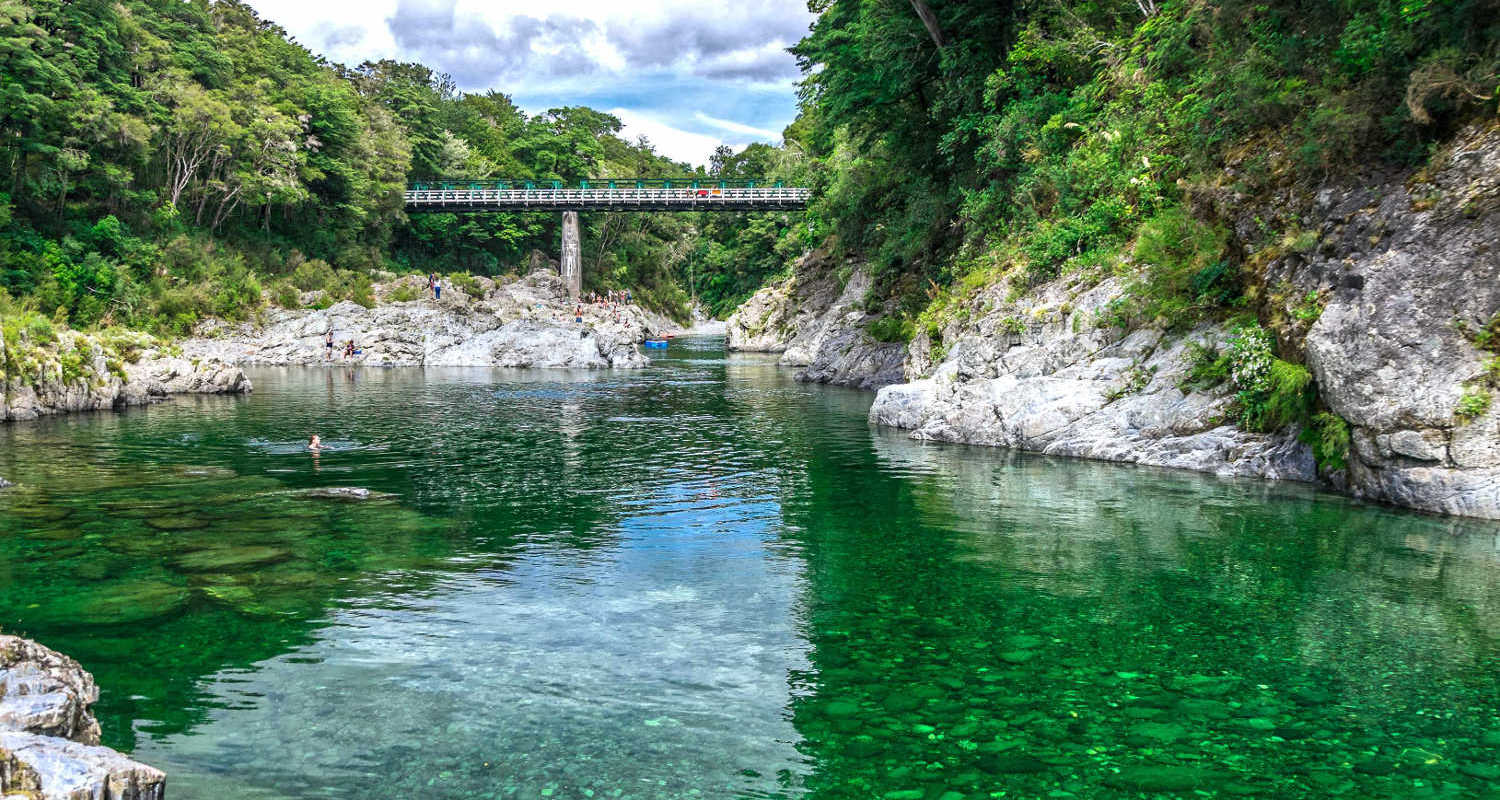
Totara Flat, Deep swimming hole with slow moving water, a grassy picnic area and native bush. Pelorus River Scenic Reserve, a number of deep swimming holes with shallow side flows. A camping ground and a café with shops are located nearby. Toilets and changing rooms are available at the camping ground. NOTE: you will have to cross a busy highway to access the cafe and campground. Walking tracks connect the river beach to the scenic reserve.
Travel pack information
- Marlborough Regional Council monitors water quality at popular swimming spots throughout the Marlborough region. Check for further details Recreational Water Quality Reports – Marlborough District Council
- Water quality data on Swim Guide is sourced from the LAWA. Can I Swim Here? website. lawa.org.nz/swim. At this site, water is regularly tested for levels of E. coli during the summer months. This faecal indicator bacteria is used to indicate the level of harmful pathogens in the water. See information on recreational water quality monitoring in New Zealand in the LAWA factsheet: Factsheet: Coastal and freshwater recreation monitoring
- Check out Marlborough guide, things to do for holiday ideas what to do with kids, Marlborough gardens & parks and Pelorus River Scenic Reserve. Places for picnics, playgrounds and secluded spaces for couples to enjoy quiet times together.
BEST BITS TRAVEL GUIDE
Best Bits travel guide is published by nzjane.com. Owned and managed by PacificJane Ltd.
Our editors independently visit tour operators, purchase tickets, pay for accommodation, and rate products and places. We are not paid to go on a tour or visit a place. We only make money if you decide to purchase a product through our website links. We promise to never accept free products from manufacturers in return for boosting their products. Read more about our affiliate programme in the terms and conditions HERE.


