- info@nzjane.com
- Auckland, New Zealand

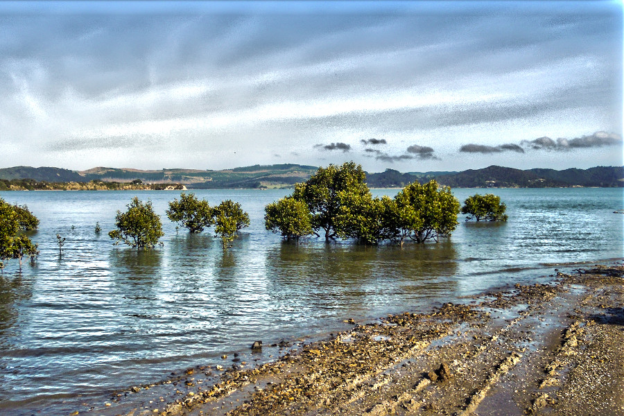 Beautiful nature of Northland, Mangrove trees, Hokianga Harbour
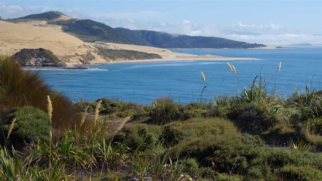
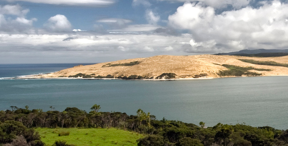
Arai-te-uru Recreation Reserve Hokianga Heads area: Places to go in Northland A nature reserve in Opononi. Absolutely spectacular views over the harbour and the wild west coast. A short walk leads to the site of an old signal station built to assist ships making the treacherous passage into the Hokianga. It closed in 1951 due to a decline in ships entering the harbour. A track also heads down to picturesque little Martin’s Bay. Arai Te Uru is the name of the Taniwha which guards the harbour entrance with its sister Taniwha Niwa who stands guard on the opposite shore.
Signal Station
Five ships had been shipwrecked in the late 1820’s. This led to merchant seaman John Martin, who had made Hokianga his home, feeling something should be done to warn ships of the sand bars and dangers facing entry into the harbour. Together with local chief Moetara a pilot service, in the 1830’s was set up. He erected a signalling mast on the high point of the South Head. According to some accounts he was not paid for the service until he was officially appointed. The mast remained operational until 1951 when technology and decreased harbour use led to closure. The final flagstaff still can be found in Opononi above the R.S.A. hall in Opononi, and the last signal light is in the local museum.
Check DOC resource for up to date information.
Rahiri monument
Who needs a statue of Nelson when New Zealand’s got a world class military strategist like Rahiri. He was a paramount chief in the seventeenth century. A monument to Rahiri stands on the summit of Whiria mountain. As does the site of a strategic Pa. The position made the Pa impregnable and the area was never conquered. Rahiri descendents are Ngapuhi from the two marriages that cemented his position in the north. For more historical information consult Rāwiri Taonui, ‘Ngāpuhi’, Te Ara – the Encyclopedia of New Zealand, Ngāpuhi. Story by Rāwiri Taonui, published 8 Feb 2005, updated 3 Mar 2017.
Excerpt from Encyclopedia of New Zealand, “Ngāpuhi by Rāwiri Taonui …The magical light from Te Ramaroa mountain first guided Kupe into Hokianga Harbour. Many other sacred mountains support the house of Ngāpuhi, a people who played a central role in Māori history. Lands, Ngāpuhi are the largest tribe in New Zealand. Their heartland lies at Te Tai Tokerau (the northern tide) in the far north. The territory stretches west to east from Hokianga Harbour to the Bay of Islands, and southward to Maunganui Bluff and Whāngārei. The following chant likens the lands of Ngāpuhi to a traditional house:”
Read more about Hokianga Things To Do and See – Travel Guide by Pacific Jane.

Your enquiry has been successfully sent. We will contact your shortly.
You will get your insider discount checklist shortly.