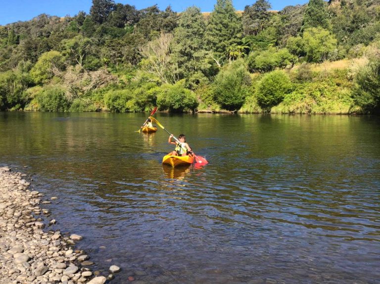
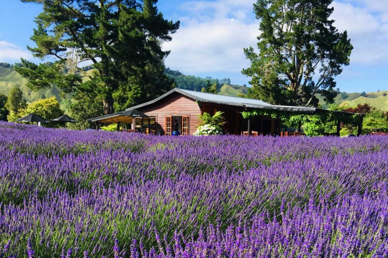
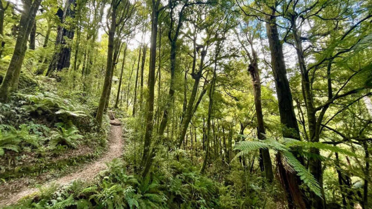
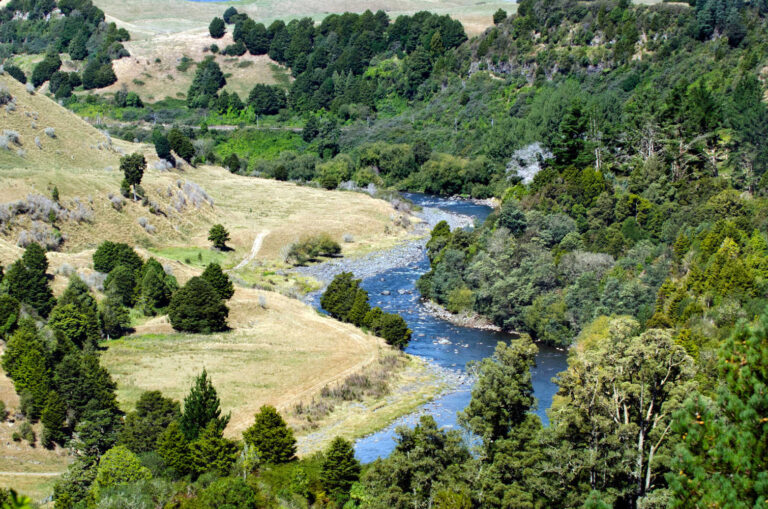
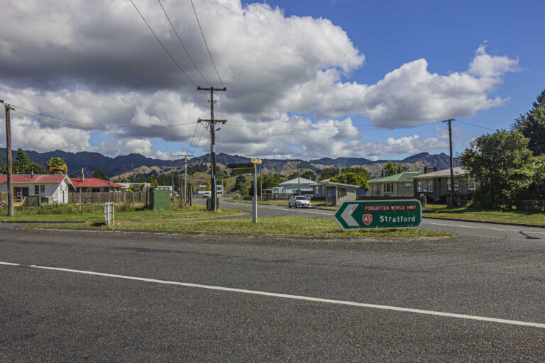
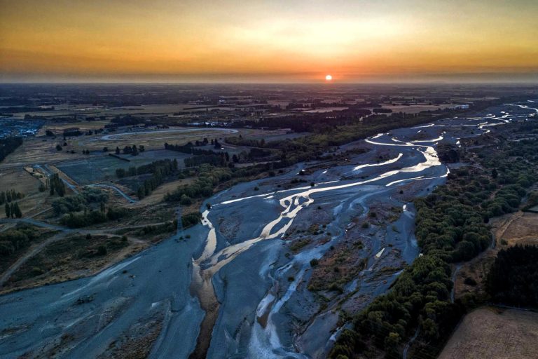
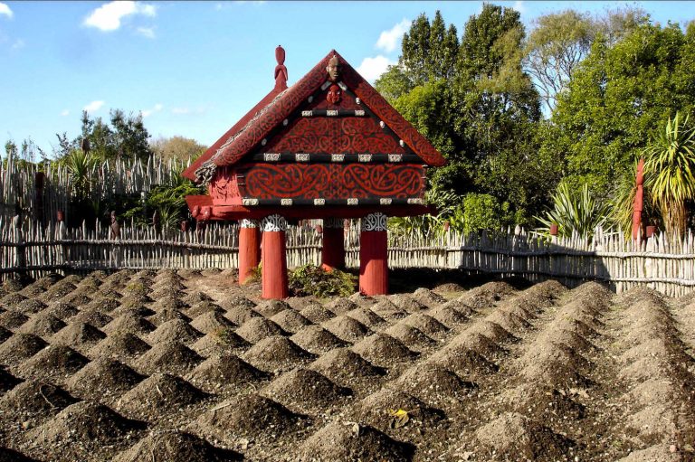
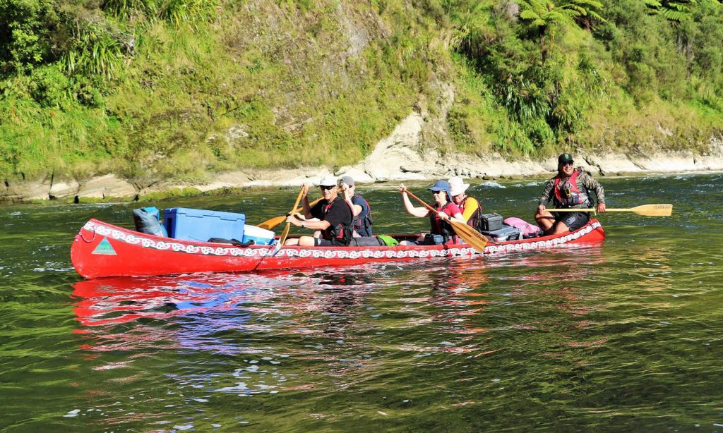
Taumarunui is nestled between two major rivers, Whanganui and Ōngarue rivers meet at Taumarunui. They were major transport routes for Māori, and linked Whanganui, Waikato and Taupō. Taumarunui is a historic settlement area for Maori. This is reflected in the population which continues to be dominant at 40% of the local population. (2018 statistics). The town has approximately 13,000 residents.
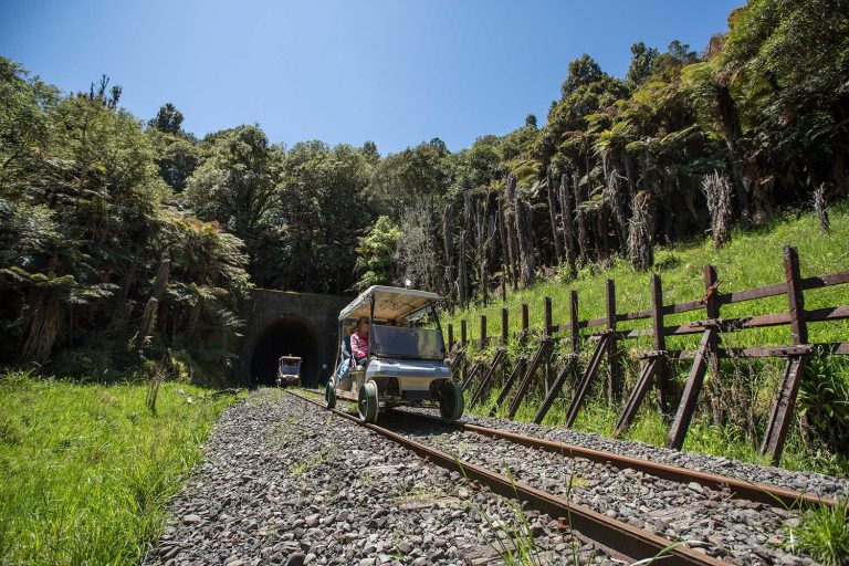
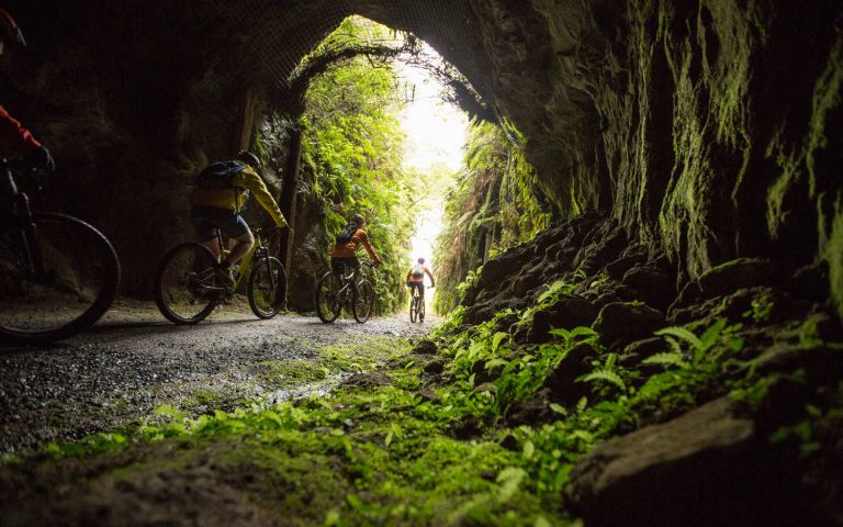
The town is well known for its railcart trip with Forgotten World Adventures where there are a number of options to ride converted golf carts on the closed railway line. The rail tracks of the defunct Stratford-Okahukura Line, provide visitors with a frontier exploration Aoteatora style. Moss draped crumpled gates, abandoned machinery and lack of people through impossibly beautiful New Zealand countryside makes for a uniquely special journey. The line has 91 bridges and passes through 24 tunnels. The tunnels have two dates above them; when they were started and when they finished. Railway enthusiasts visit the town on their way to check the Raurimu spiral. An option for hunting and fishing focused holidays is to use.
Visit Ruapehu describes Taumarunui Fishing as great fishing spots attracting anglers of all levels of skill and experience. Fishing trips may include lakes, rivers, backcountry streams, saltwater fishing or big game fishing. Or you could choose to explore some of Taumarunui’s superb fishing spots yourself.
Best time to visit Taumarunui & Owhango
Year around
Weather in Taumarunui & Owhango
Taumarunui Weather Forecast and Observations
Getting to Taumarunui & Owhango
The main railway truck line passes Taumarunui as well as regular long distance bus services, otherwise it is accessed on the road network via State Highway 2.
Getting around Taumarunui & Owhango
You will need a vehicle.
Awesome journeys and day trips from Taumarunui
Tour operators
Walking tracks
Stay
Check air BNB and tripadvisor for accommodation deals and offers. There are numerous choices from upmarket bed and breakfast to camping grounds.
@owhangoadventures

AFFILIATE PARTNER STATEMENT
Our editors independently visit tour operators, purchase tickets, pay for accommodation, and rate products and places. We are not paid to go on a tour or visit a place. We only make money if you decide to purchase a product through our website links. You will not pay any extra, that is guaranteed.
We promise to never accept free products from manufacturers in return for boosting their products. Our independence and reviews is funded by your purchases and affiliate commissions, at no additional cost to yourself… read more about our affiliate programme in the terms and conditions HERE.
Travel pack information
For more information what to do and see check out Waikato Travel Guide.
- “The Wanganui River long continued to be the principal route serving Taumarunui. Traffic was at first by Maori canoe, but by the late 1880s regular steamship communication between Wanganui and Pipiriki was established. The shipping service was extended in the 1890s with shallow-draught vessels, and a terminal berth was built a short distance up the Ongarue River at Taumarunui. The river vessels maintained the services between Wanganui and Taumarunui until the late 1920s, when the condition of the river deteriorated. In 1928 the upstream terminal was moved down stream to the junction of the Retaruke Stream, and in 1934 regular services on the upper Wanganui River ceased. The progress of the town and district accelerated in 1903 when the section of railway from Te Kuiti to Taumarunui was opened for traffic, and again following the completion of the North Island Main Trunk railway in November 1908. Taumarunui has been assigned more than one meaning, but that most favoured is “place of abundant shade”. In 1906 Taumarunui was created a township under the Native Townships Act 1895, and the same year became a borough.” ‘TAUMARUNUI’, from An Encyclopaedia of New Zealand, edited by A. H. McLintock, originally published in 1966.
- Raurimu Spiral. The Raurimu Spiral, 30km south of town, is a unique feat of railway engineering that was completed in 1908 after 10 years of work. Rail buffs can experience the spiral by catching the Northern Explorer train.
- History and culture: Whanganui National Park an excellent introduction to the tribal Maori history of the area.
- Mountain biking track grades: Tracks and walks
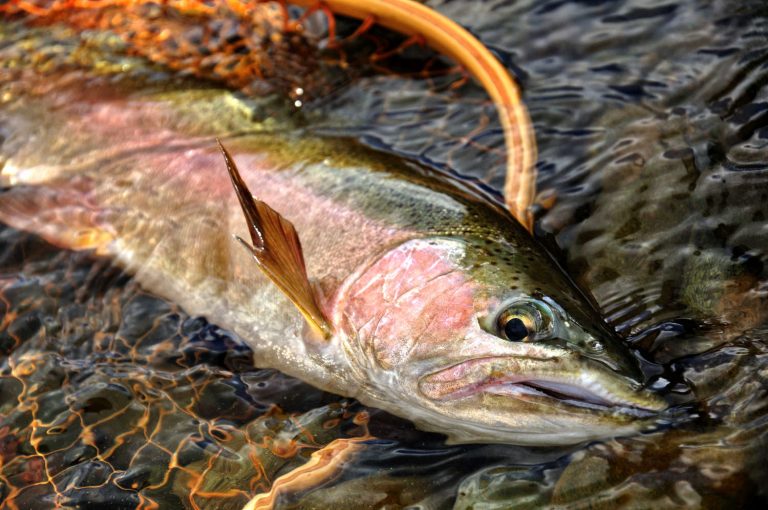
- Fishing commentary from visitRuapehu Enjoy fishing at it’s best in one of the world’s great fishing countries. The crystal clear waters that flow through the remote native bush, coupled with the promise of up to 3kg brown and rainbow trout, has anglers returning year after year.
From trophy fishing in Lake Otamangakau to sight fishing for large trout in smaller streams and rivers, Ruapehu caters to all types of anglers. With secluded and sparsely trafficked locations, Ruapehu has a multitude of tranquil waterways to fish. The most well known for good fishing include the Whanganui River, Whakapapa River, Manganui o te Ao River, Mangawhero River, Retaruke River, Ongarue River, and the Tokiharu and Waitaiki Streams. You can get more information on the region’s best fishing spots by contacting one of the local I-sites.
The fishing season runs from 1st October through to May, though selected public areas such as the Ruatiti Domain (Manganui o te Ao river) and parts of the Mangawhero River are open year round. Most spawning rivers are closed between fishing seasons.
Visitors who want to go freshwater fishing will need a licence from Fish and Game New Zealand. Local guides are readily available to not only show visitors their favourite spots, but will also assist with licences and obtaining permission to cross private land where required. Sometimes a familiar face is all it takes!
The Manganui-o-tea-o River
A favourite among local and returning anglers, the Manganui-o-tea-o River is a heritage river rich in beautiful native scenery. Flowing through native bush and local farmland this river offers diversity of fishable waters with its high water quality, large boulders, overhanging bush, deep pools and papa ledges. It is recommended only experienced anglers fish this river as the waters are fast flowing and there are many obstacles. A common spot on the Manganui-o-tea-o is the Ruatiti Domain, located 22kms west from Ohakune, This area is open year round for fishing and also have free camping facilities available.
The Whanganui River
In a remote backcountry setting, the Whanganui River and its tributaries provide top quality Brown and Rainbow trout fishing for intermediate to advanced anglers. It’s waters being in the Tongariro National Park, running through native forest, over shingle and stone beds with deep pools and small rapids. The waters eventually exit into the Tasman Sea, through the city of Whanganui. The water is generally clean, some times with a slight tinge of colour which can assist in fishing as it is easier to approach trout without spooking them.
Ongarue River
The upper and middle reaches of the Ongarue River provide excellent fly fishing waters. It’s clear waters run over a gravel and stone bed, with bankside vegetation providing great trout habitation. The river is small in size allowing easy movement up and downstream
Fishing Ohakune official tourism website detailed description of the local rivers.
BEST BITS TRAVEL GUIDE
Best Bits travel guide is published by nzjane.com. Owned and managed by PacificJane Ltd.
