Whanganui Journey New Zealand Great Walk
Whanganui River, how to kayak, hike (tramp) the Whanganui River. Best options for a beginner to experienced outdoors enthusiast. Frequently asked questions and how to arrange a tour on the Whanganui River.
TOP SIGHTS
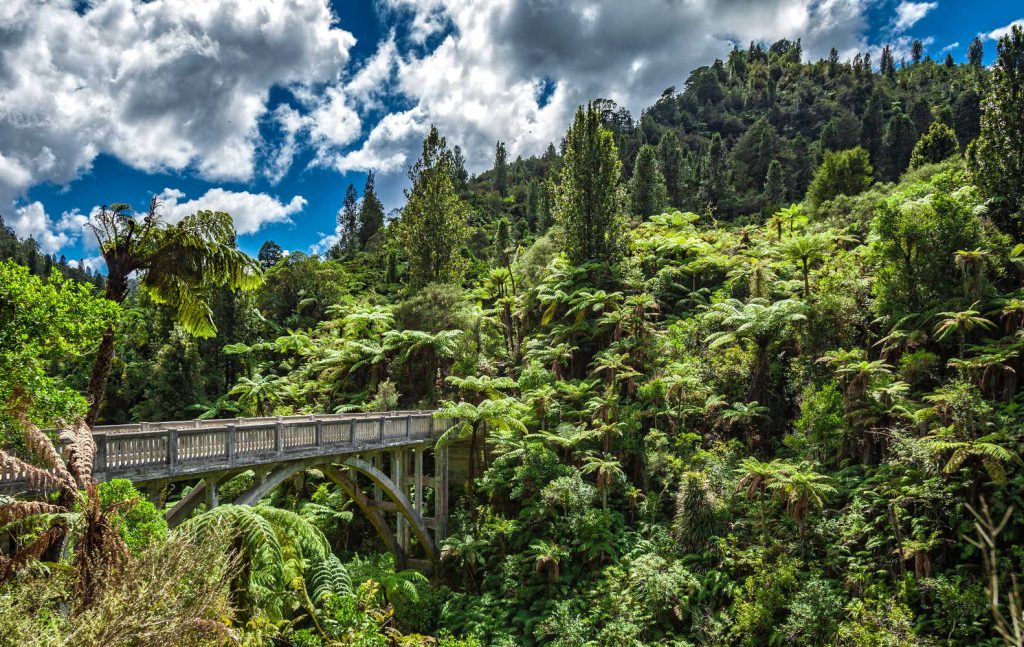
- Bridge to Nowhere where World War I veterans farming dreams vanished
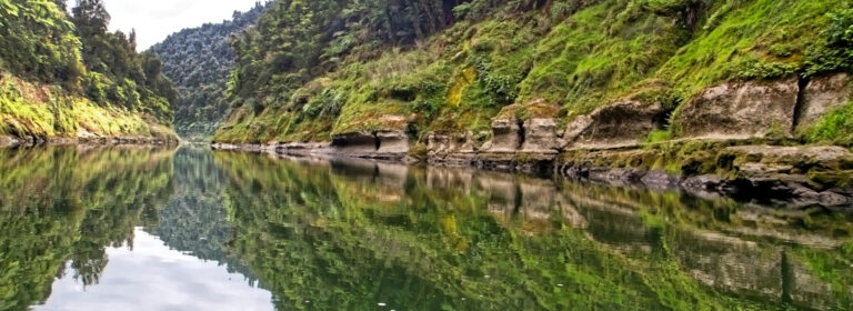
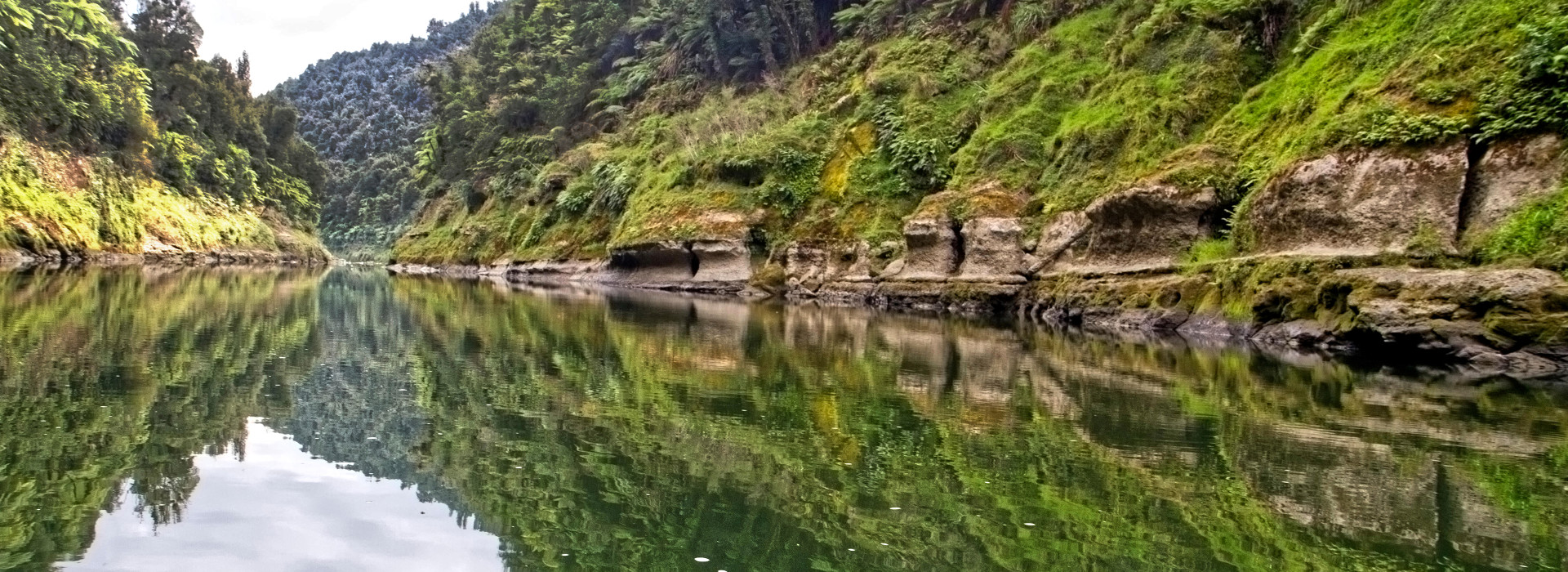
- Whanganui River gorges, caves and waterfalls
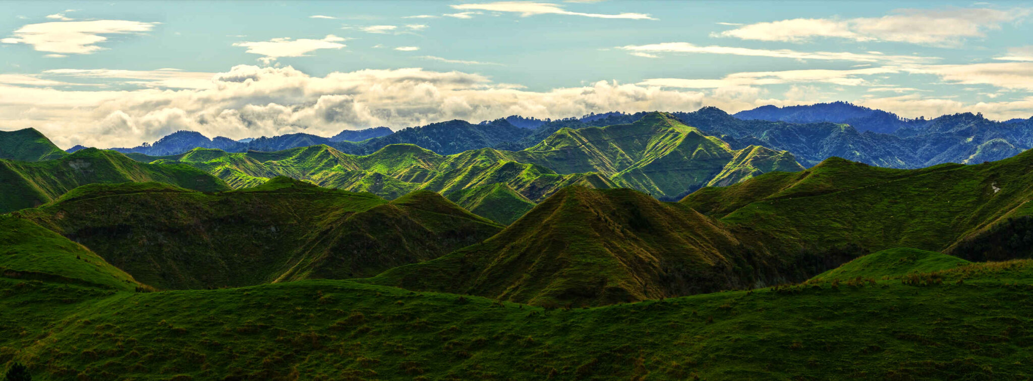
- Pristine bush and forest dipping towards the river in green glory
- The quiet uncrowded water in a remote region of Aotearoa New Zealand
When is a New Zealand Great Walk not a walk?
Discover a NZ great paddle, the Whanganui journey. Paddle, canoe down the Whanganui River through the Whanganui National Park and a remote landscape.
How fit do you need to be to participate in the Whanganui journey, a NZ great walk?
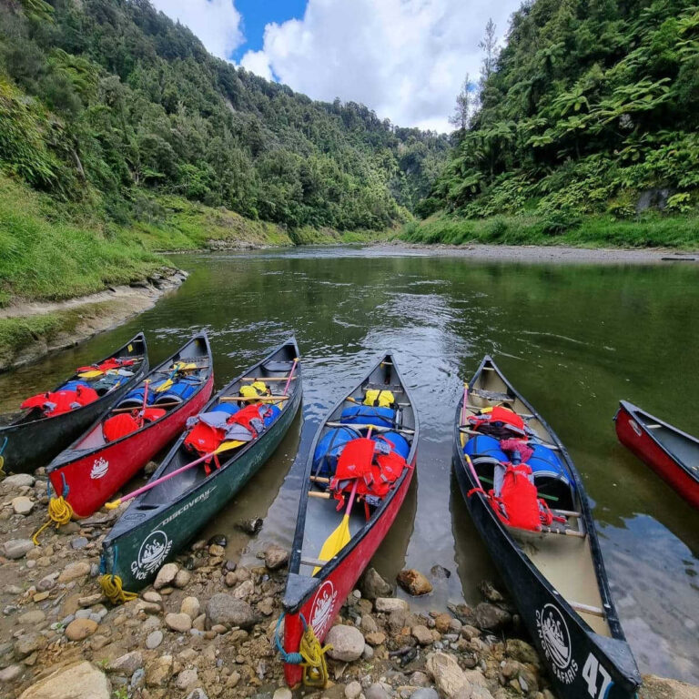
To join the NZ Great Walk, Whanganui journey, paddling down the river you need to be reasonably fit, confident to paddle a canoe for several days and be able to swim confidently.

- Length: 290 km
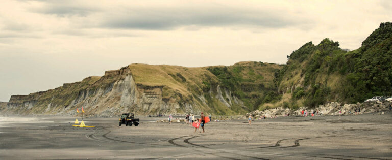
- Mouth: Tasman Sea in the town of Whanganui, go for a drive and view the massive river month waters surging into the Tasman Sea
- The longest navigable river in NZ
- First river in the world to be recognised as a living entity, a person
- Paddling the river is a journey where the speed and direction is largely managed by the Whanganui River
Where is the best place to start your Whanganui Journey?
The best place to start your exploration of the Whanganui River on a Great Walk is based on your decision of how long you want to take paddling the river and hiking through the bush.
- The distance is 145 km from Taumarunui to Pipiriki, this is a river journey. You are paddling by canoe or kayak. The estimated time is 5 days.
- The shorter river journey is from Whakahoro to Pipiriki. The estimated time is 3 days
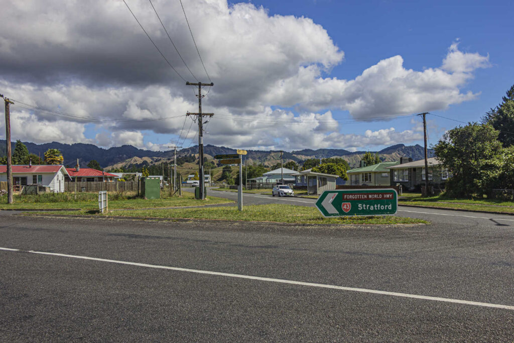
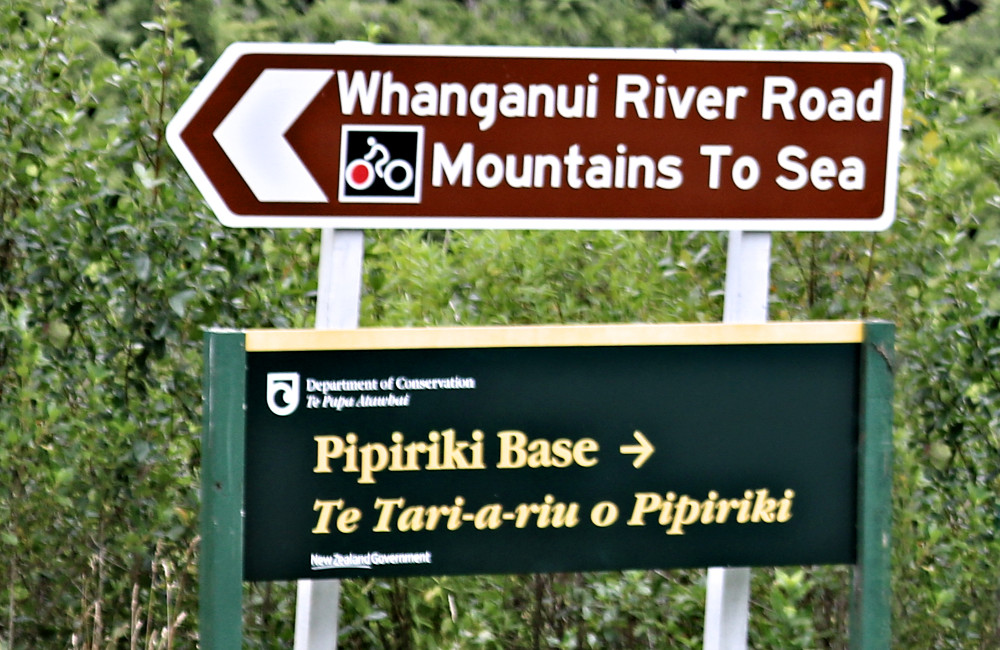
Traditional entry or exit points for the Whanganui Journey are off SH4 at:
- Taumarunui
- Ōhinepane – access from Taumarunui
- Whakahoro – access from Raurimu or Ōwhango
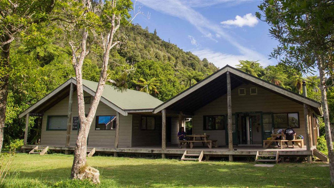
- Pīpīriki access from Raetihi or Whanganui
Equipment hire, services, food and transport can be found in Taumarunui, Whanganui, Raetihi, Ōhakune and National Park Village.

Check the Great Walks Whanganui Journey brochure in the travel pack section.
Can you kayak or paddle the Whanganui River from Pipiriki one way?
You can kayak or paddle the Whanganui River from Pipiriki one way from the landing beach at Pipiriki to the Bridge to Nowhere landing site. Estimated time 6 – 7 hours.
One day Whanganui River kayaking / canoe options
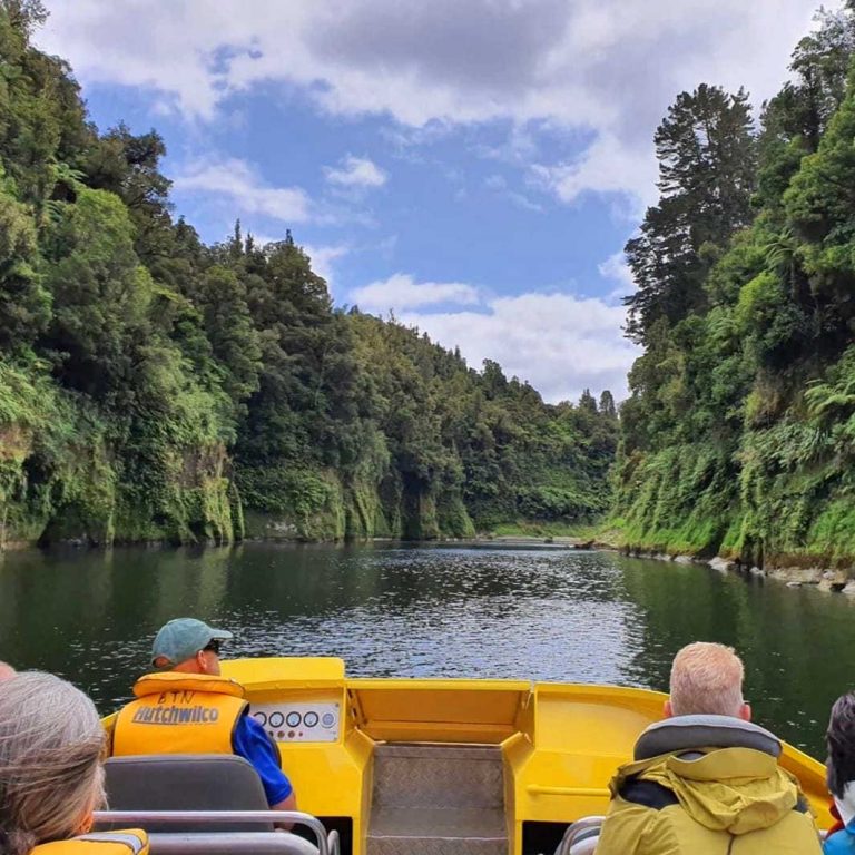
- Jet Boat upriver for 13 kms we will kit you out in your own canoe for you to paddle down the Whanganui River to Pipiriki, while immersing yourself in the beauty of the Whanganui Rivers most scenic landscape, deep river gorges and some of the more exciting rapids along the way.
- We start with the Bridge to Nowhere Tour then include Jet boat back down Whanganui River 22kms and do an unguided 2 hours canoe or kayak (last 10 kms) back to Pipiriki stopping and exploring along the way.
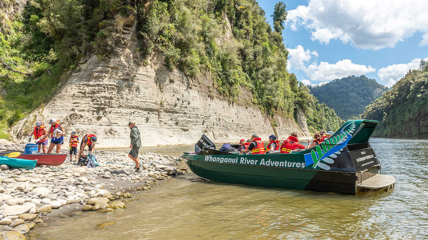
These packages are part of Whanganui River Adventures Jet Boat & Canoe Tours. Whanganui River Adventures Jet Boat and Canoe Tours are locals based in Pipiriki with ancestral links to the river and region reaching back hundreds of years.
There are various options from
Mountains to Sea Cycle Trail Package
IN PARTNERSHIP WITH: WHANGANUI TOURS, THE FLYING FOX AND RIVERTIME LODGE. … a Mountain Bike package with road transport, accommodation with all meals provided, jet boat pick up and of course bike hire if needed, when you are cycling the Mountains to Sea cycle trail. Estimated time 3 – 5 days.
Department of Conservation guidelines about guided or self-guided paddling on the Whanganui River are informative and it is recommended you consult DOC resources BEFORE booking any extended multiple day tours.
Guided or self-guided paddling on the Whanganui River what are the recommendations
If you have experience canoeing or kayaking, good swimming abilities and are comfortable on the water, going self-guided is an option to consider for exploring the Whanganui River.
For visitors without sufficient experience on the water, going guided is an option to seriously consider. The reason is the rapids and need for adroit manoeuvres, changing weather conditions and the remoteness of the surrounding Whanganui National Park.
Local guides will assess both your competency and river conditions ensuring guest safety at all times. Listen to locals tell stories about the river and its place as an identity in the lives of the traditional river guardians, the Maori. Discover caves and waterfalls not easily seen and enjoy the sense of adventure with a guide.
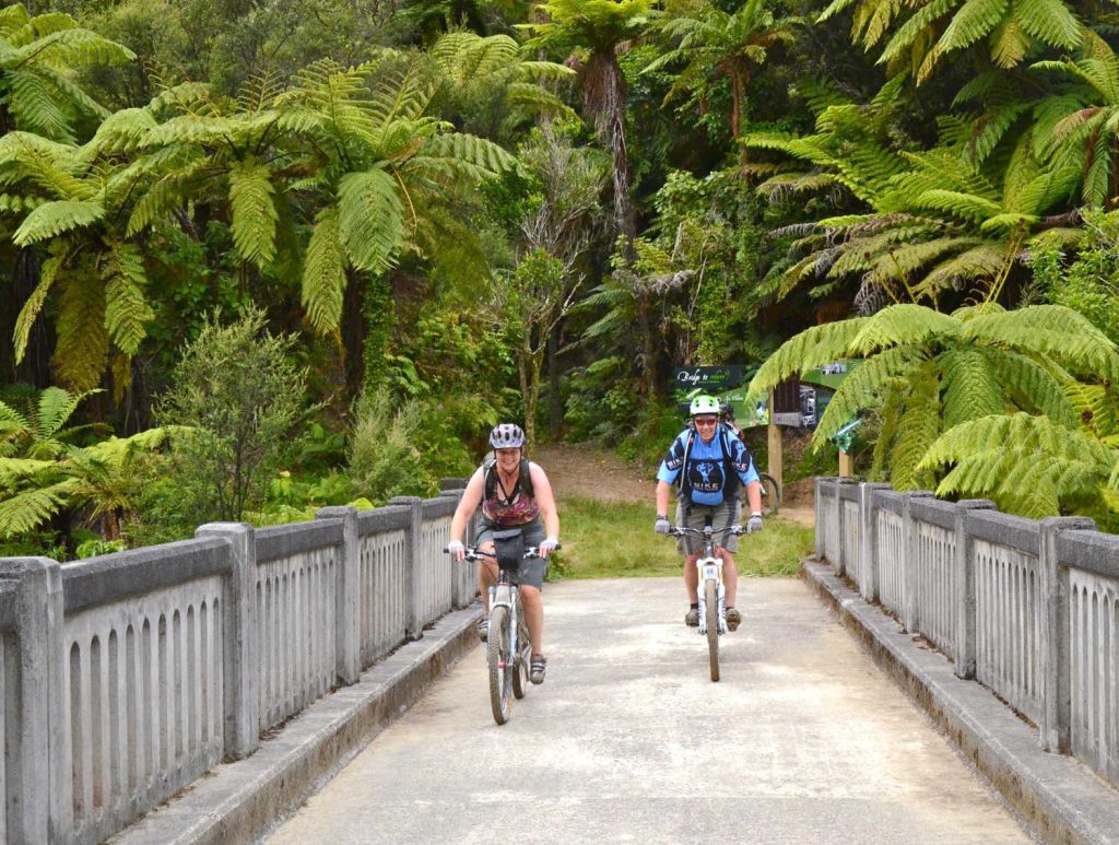
Mountain biking along the Whanganui River is possible?
Intrepid mountain bikers can transverse the Whanganui National Park and Whanganui River landscapes. The Whanganui River passes through remote areas with no road access. Riders can bike to the well known Bridge To Nowhere on the Mangapurua Track as part of the Mountains to Sea – Ngā Ara Tūhono Cycle Trail. Pick up by jet boat to continue to Pipiriki or organise canoeing or kayak the 32 km Mangapurua Landing—Pipiriki section to finish. Check with Whanganui River Adventures for details.
Department of Conservation Safety messages
You should also:
- check the weather before you go. Do not canoe if the river is flooding, rising, or predicted to flood.
Weather forecast for Whanganui National Park (external site). - pack plenty of warm clothes and extra food. It can be very cold and you need to be ready to stay an extra night if the river rises.
What to take on the Whanganui Journey. - wear bright clothing, so you’re more visible to boats
- pack what you need to boil or treat water –the water at huts and campsites may not be treated and safe to drink
- avoid drinking alcohol or smoking, for your safety and out of respect for the river
- pack antihistamines if you’re allergic to wasps – they’re especially common from January to May.
Check if this trip is right for you
This trip is very different to other Great Walks – it’s a paddle, not a walk. Think carefully about if it’s right for you.
To do the Whanganui Journey safely without a guide, you should:
- be a confident swimmer
- have experience in a canoe
- be fit enough to paddle for 6 to 7 hours in a day
- be over the age of 10
- have at least two people in your group, plus enough adults to look after any children and teens if something goes wrong.
If you aren’t an experienced canoe user or are travelling alone, book a guided trip instead.
If you can’t swim or aren’t fit enough, then this isn’t the trip for you. There are lots of other great adventures in Whanganui National Park.
Highlights
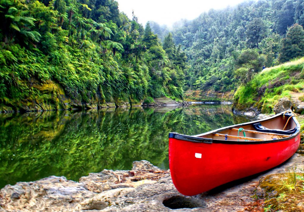
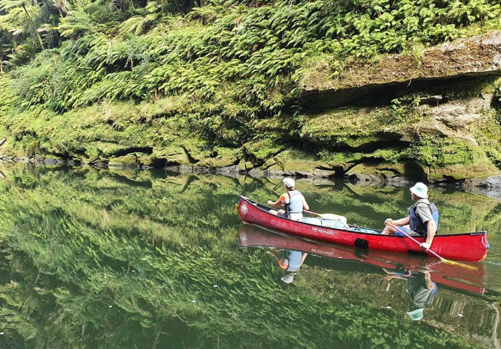
- Enjoy the Whanganui River in a canoe or kayak.
- Take a break from the water on a short walk to the Bridge to Nowhere.
- Be immersed in culture and history with a unique stay at Tieke Kainga, the only DOC hut that is also used as a marae.
Distances between campsites and huts
- Cherry Grove, Taumarunui to Ohinepane campsite — 22 km
- Ohinepane to Poukaria campsite — 14 km
- Poukaria to Maharanui campsite — 17 km
- Maharanui to Whakahoro campsite and Whakahoro Bunk Room— 4 km
- Whakahoro to Mangapapa campsite — 11 km
- Mangapapa to Ohauora campsite — 16 km
- Ohauora to John Coull Hut — 10.5 km
- John Coull Hut to Mangawaiiti campsite — 9.5 km
- Mangawaiiti to Mangapurua campsite — 9 km
- Mangapurua to Tīeke Kāinga — 10.5 km
- Tieke to Ngaporo campsite — 12.5 km
- Ngaporo to Pipiriki — 9 km
Trip options
The 145 kilometre river journey from Taumarunui to Pipiriki takes an average 5 days to complete by canoe. A shorter 3 day journey from Whakahoro to Pipiriki is also possible.
Each trip requires a good level of fitness and confidence in using a canoe.
For a 5 day / 4 night trip:
- Day 1 and 2 – Taumarunui to Whakahoro
- Day 3 – Whakahoro to John Coull Hut
- Day 4 – John Coull Hut to Tīeke Kāinga
- Day 5 – Tīeke Kāinga to Pīpīriki
Taumarunui to Whakahoro
Distance: 57 km
Access points are at Ngāhuinga (Cherry Grove) in Taumarunui or further downstream at Ōhinepane (accessed from River Road SH43).
Travelling the upper reaches of the Whanganui River, you’ll pass through a mixture of farmland and patches of native bush. You’ll be in for some excitement as you shoot down rapids on this section of the river.
Camp beside the river at Ōhinepane, Poukaria or Maharanui campsites or stay in a campsite or bunkhouse at Whakahoro. From here, you get the feeling of venturing into the heart of a rich and rugged landscape.
Whakahoro to John Coull Hut
Distance: 37.5 km
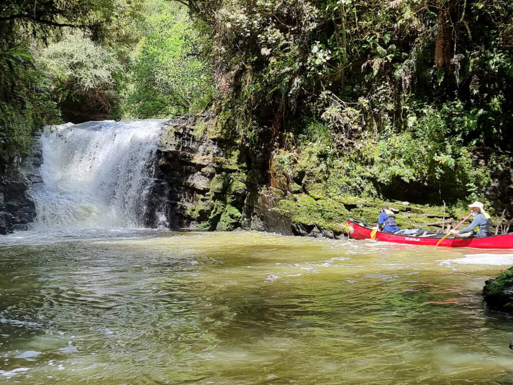
Many begin their river journey here – the scenic middle reaches of the river, featuring numerous waterfalls after heavy rain. Past Mangapapa Campsite, take a long loop around the Kirikiriroa Peninsula, pass the Tarepokiore (whirlpool) rapid and then the large overhang known as Tamatea’s Cave.
Please do not enter the cave as it is wāhi tapu (a sacred place). Ōtaihanga Reach leads you to your overnight stop at John Coull and Campsite and John Coull Campsite.
You may see long-tailed bats fluttering overhead at dusk.
John Coull Hut to Tīeke Kāinga
Distance: 29 km
On this section, follow the river as it meanders through bush-covered hills, passing the mouths of the Tāngārākau and Whangamōmona rivers where they join the Whanganui. Perched high above the river, Manga-wai-iti is an attractive spot to camp or stop for lunch.
Continue your trip downstream to Tīeke Kāinga where you can examine the intricately carved pou whenua and learn about the history of Tīeke and the tikanga (protocol) of the marae.
Tīeke Kāinga information and tikanga (protocol). Check DOC resource for up to date information.
Alternative accommodation option
For a more secluded night’s sleep, stay at Puketotara Hut. Opposite Tieke Kainga, this 1 hr and 30 min track takes you high up on the Matemateaonga Range where you will spend the night in podocarp splendour, with expansive views of the Whanganui River, the bush clad hills of Whanganui National Park and the volcanoes of the Central Plateau.
Side trip: Bridge to Nowhere
At Mangapurua Landing, where the old riverboats used to tie up, hop out of your canoe and take the 40-minute (one way) Bridge to Nowhere Walk to this poignant reminder of the Mangapurua Valley farm settlement, carved out of the bush and then abandoned between the two World Wars.
Exercise caution when disembarking and embarking. The Landing can become very congested with canoes and boats. The rock surface is very slippery when wet.
Look out for cyclists – the track is also part of the Mountains to Sea Cycle Trail.
Tīeke Kāinga to Pīpīriki
Distance: 21.5 km
You’ll pass through the scenic gorge of the Manganui o te Ao River where it enters the Whanganui after its journey from the slopes of Mount Ruapehu. Ngāporo and Autapu rapids can provide plenty of excitement and perhaps a cool dip on a hot day.
More exotic trees and farmland indicate you are getting close to Pīpīriki. Pass an eel weir on your left, shoot the Paparoa rapid and you will see the boat ramp below Pīpīriki village up ahead.
Source
Travel pack information
BEST BITS TRAVEL GUIDE
Best Bits travel guide is published by nzjane.com. Owned and managed by PacificJane Ltd.
Our editors independently visit tour operators, purchase tickets, pay for accommodation, and rate products and places. We are not paid to go on a tour or visit a place. We only make money if you decide to purchase a product through our website links. We promise to never accept free products from manufacturers in return for boosting their products. Read more about our affiliate programme in the terms and conditions HERE.