Unforgettable scenic exploration
The tip of the Coromandel Peninsula between Fletcher Bay and Stony Bay is a walk from ocean to ocean.
Walk or mountain bike between Fletcher Bay and Stony Bay. One of the best coastal walks in New Zealand. Discover beautiful beaches, outstanding off the beaten track scenery and glimmering reflections on the blue coastal water.
Coromandel Coast highlights
- Solitude of remote Upper Coromandel Peninsula
- Native Bush, Rolling Farmland
- Mt Moehau misty shrouded peak is a contrast between the ocean and the quiet hills
LENGTH: 10km (one way)
START/FINISH: Coromandel town (Colville) Fletcher Bay / Port Charles Rd (Stony Bay)

Rental car companies are reluctant to provide insurance beyond Colville. Local shuttle services are recommended. Shuttle services allow:
- Photo moments
- Refreshments
- Up to date track information
- One way walk / bike experience
GETTING THERE IS A JOURNEY – COROMANDEL COASTAL PATHWAY
There are two access routes:
- COLVILLE – a narrow winding gravel road with massive pohutukawa trees, small beaches and inlets for 30km to PORT JACKSON to commence the walk. This is the eastern access entrance.
- PORT JACKSON – a narrow 20 km gravel road through Fantail Bay and Port Jackson. This is the eastern access entrance.
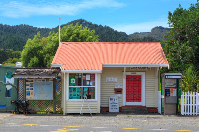
Allow over an hour to drive either route. If you prefer not to drive the remote unsealed roads of the Northern Coromandel, a guided tour is an excellent option, offering transport and collection from either access point. Coromandel Adventures act as local guides and shuttle collection services. Enjoy the dramatic coastline and road as it ribbons along the shoreline.
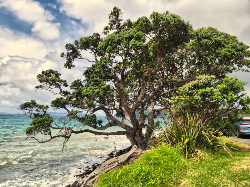
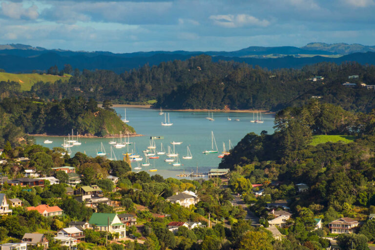
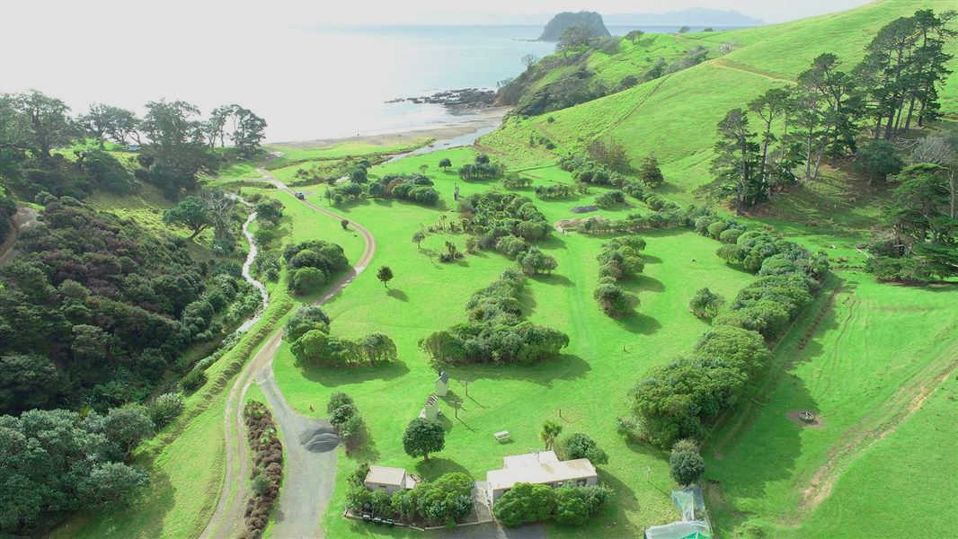
The Coromandel Coastal Walkway borders the northern Coromandel coastline between Stony and Fletcher Bays, following an old bridle path formed by early pioneers. It is a 10km (one way) hike that encapsulates the best scenery The Coromandel has to offer. It offers plenty of variety as it winds through regenerative native forest, farmland and rocky shoreline. It offers stunning views of the Pacific Ocean, Mt Moehau, Great Barrier Island (Aotea Island) to the north and Cuvier Island (Repanga Island) to the east. The majority of the walk follows a gentle gradient, however there is a steep valley to conquer enroute to Poley Bay. Arrival at Poley Bay is an ideal spot for lunch and a rest, however submerged rocks make it unsafe for swimming. For a circuitous route, the Coastal Walkway can be linked with the Coromandel Mountain Bike Track, however this 8km track is steep, slippery and technically challenging.
CAMPING – DEPARTMENT OF CONSERVATION CAMP SITES
There are Department of Conservation campgrounds at both Fletcher Bay and Stony Bay. Camping overnight will allow plenty of time to complete the 7 hour return hike without first having undertaken a lengthy drive to the walk’s entry point. Alternatively, the walk can be done in 3.5 hours from point to point if you arrange transport pick-up at the other end.
An 8km mountain bike trail utilises part of the Coastal Walkway, but is only suitable for advanced riders as the track is a steep traverse, often slippery and challenging.
Dogs are not permitted on the Coastal Walkway.
Check DOC resource for up to date information.
Need to know
Swimming at Poley Bay is hazardous because of submerged rocks.
Below is DOC information about the shared pathway:
Coromandel Walkway and mountain bike track Department of Conservation managed shared pathway.
The more challenging mountain bike track follows a stock route across farmland and regenerating forest, and rewards walkers with spectacular views of the ranges and islands of the Hauraki Gulf from the top of the track. For mountain bikers, this is a steep traverse, often slippery and challenging and only suitable for advanced riders and people with a good level of fitness.
From Stony Bay campsite, orange triangles mark the track, which turns left at the ford and past the two houses. The track continues over farmland for a short distance and then heads up a steep clay track.
Allow 1 hr 30 min to reach the top. Following the fenceline down, there are views of Port Jackson and Fletcher Bay. The two tracks meet below a historic shepherd’s hut just north of Poley Bay and from there it is another 40 min to Fletcher Bay. Returning back to Stony Bay from this point will take about 2 hr 30 min. Cell phone coverage is limited.
TRAVEL PACK INFORMATION
Mt Moehau, at the tip of the Coromandel Peninsula, is a sacred mountain of the Marutūahu peoples; many important chiefs, including Tamatekapua of Te Arawa, are buried on its summit. The full name of the mountain is Te Moengahau-o-Tamatekapua (the windy sleeping place of Tamatekapua).
Moehau stands guardian over the Coromandel Peninsula. The sacred mountain is home to patupaiarehe, supernatural beings or fairy folk who are said to live in the swirling mists of the mountain-top.
The summit is the burial place of the chief of the Te Arawa canoe, and the full name of the mountain, Te Moengahau-o-Tamatekapua, means the windy sleeping place of Tama Te Kapua.
At 892m, Moehau is the defining point of the Coromandel Range and the highest peak until you reach Te Aroha in the Kaimai Range to the south.
Reaching the actual summit is not possible due to the fact it is an important burial ground for Maori.
Trampers wishing to experience the Coromandel’s highest peak can, however, hike to the saddle beneath the summit and still enjoy spectacular views across the Hauraki Gulf to Auckland and the Sky Tower.
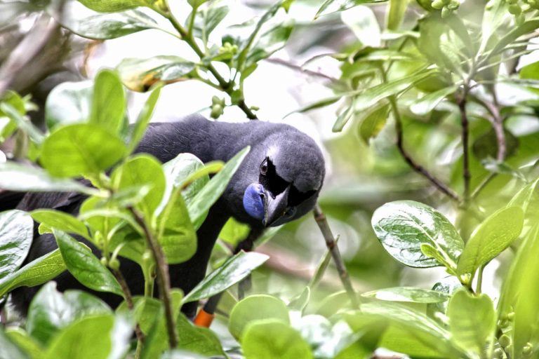
Moehau is an important site for the rare and tiny Archey’s and Hochstetter’s frogs. The route starts at Stony Bay and is narrow and steep.
Source Moehau Saddle via Doctors Knob Track.
MURIWAI WALK – COROMANDEL PENINSULA
An medium to advanced walking / bike trail from Port Jackson DOC camp site. It is known to be exposed to the wind throughout the year. Cliffside track with panoramic views.
Muriwai Walk – Northern Coromandel. This stunning coastal walk leaves the car park and heads along a benched farm track along the ridge towards Wharekaiatua Pa. Domed topped bollards mark the walk as it is formed and grassed. You will see views across to Great Barrier and the Hauraki Gulf. Follow along the track until you get to Muriwai estuary (note this is easier to cross at low tide) and continue along the beach until you get to the boat ramp at Port Jackson campsite. Walk through the campsite and head back up Fletcher Bay Road to the Hilltop car park or turn around and return via the Muriwai walk.
Remember to check COROMANDEL TRAVEL GUIDE for short walks and other outdoor adventures in the region.
BEST BITS TRAVEL GUIDE
Best Bits travel guide is published by nzjane.com. Owned and managed by PacificJane Ltd.
Our editors independently visit tour operators, purchase tickets, pay for accommodation, and rate products and places. We are not paid to go on a tour or visit a place. We only make money if you decide to purchase a product through our website links. We promise to never accept free products from manufacturers in return for boosting their products. Read more about our affiliate programme in the terms and conditions HERE.