Generic filters
Exact matches only
Search in title
Search in content
Search in excerpt

Scenic short road trip Rawene to Cape Reinga

Cape Reinga excursion is a one way trip and your return is effectively following your tracks back to Ahipara or Kaitaia. For many backpackers and visitors alike it is a rite of passage to take the 100 km (one way) journey to Cape Reinga to check out the northernmost tip of Aotearoa New Zealand.

NOTE: Tour companies will usually drive the beach and return on the inland gravel road to Ahipara or Kaitaia. This route offers a detour two day excursion on the classic Top of New Zealand road trip, Twin Coast Discovery, Northland.

2 days
1 night (short break)

Trip Overview

Places to visit and where to go

Start Ahipara or Kaitaia
Finish Ahipara or Kaitaia

Each Northland scenic journey can be linked to a comprehensive loop trip around the top of the North Island, NZ.

BEST TIME TO GO (NORTHLAND)

November to mid-April (while the winterless North is unlikely to experience low temperatures and frost Northland can have periods of extensive rain in winter (April to September).

Start Ahipara or Kaitaia
Finish Ahipara or Kaitaia

Route map

DRIVING TIMES: 2 hours return (approximately 100 km from Kaitaia)

ARE YOU INTERESTED IN CONSERVATION PROGRAMMES & PLACES TO VISIT?

In Northland there are a number of successful conservation projects welcoming visitors. These are highlighted in orange on the customised map.


KEY PLACES TO EXPLORE

Kaitaia bus mural, Northland, New Zealand
Kaitaia bus mural, Northland

KAITAIA

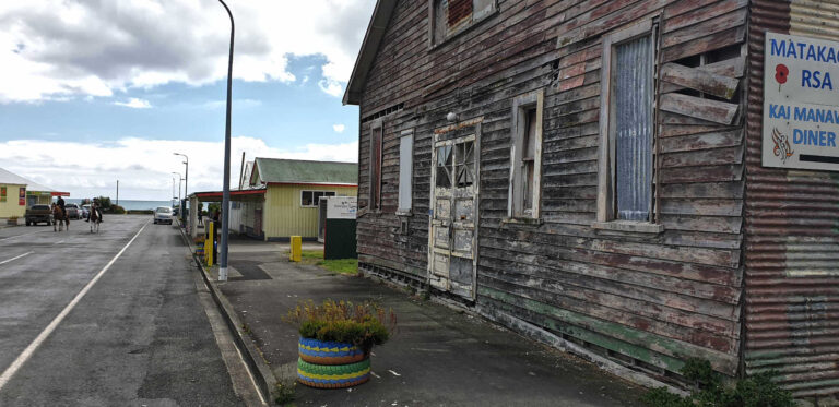
Kaitaia is a place where visitors are either going up North to Cape Reinga, ‘up the road’ or South to Mangonui, ‘down the road.’  The town has a reputation for being a place where rival gangs compete for territory. Yet the town is very welcoming to visitors as a substantial part of the local economy works in the tourism sector.

The town has a strong sense of community and family (whanau) and asking where to go and how to get there you will be offered plenty of advise.

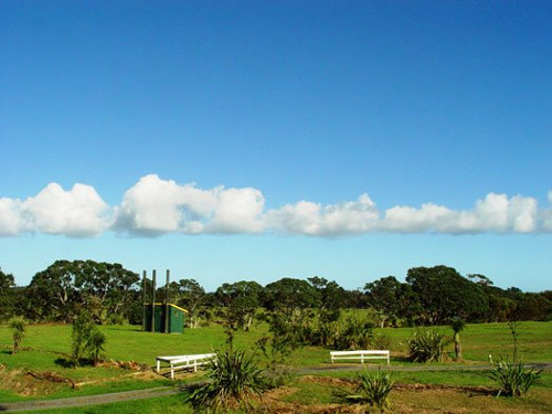
WHAT ARE THE TOP SIGHTS NEARBY KAITAIA?

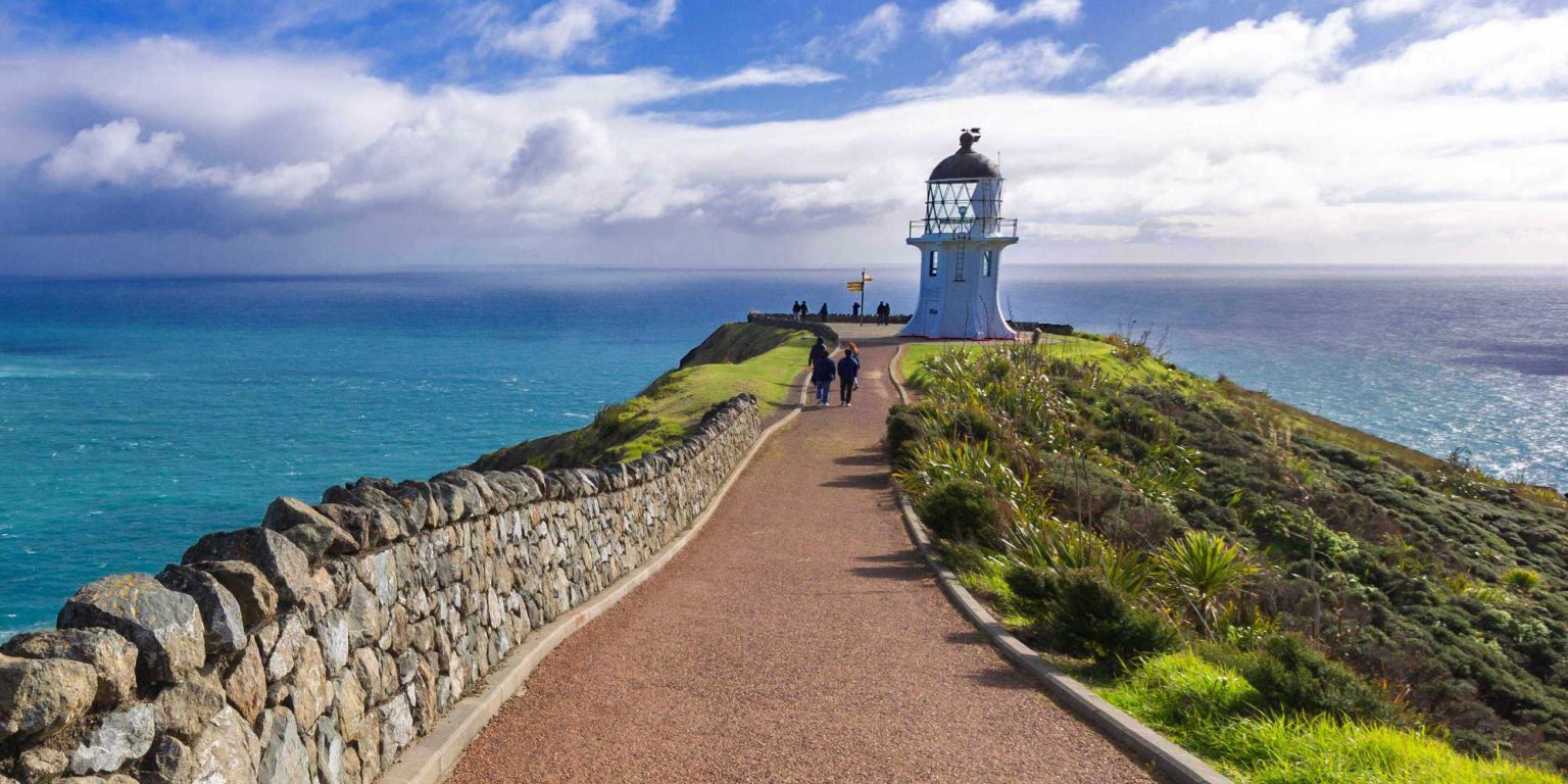
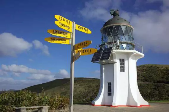
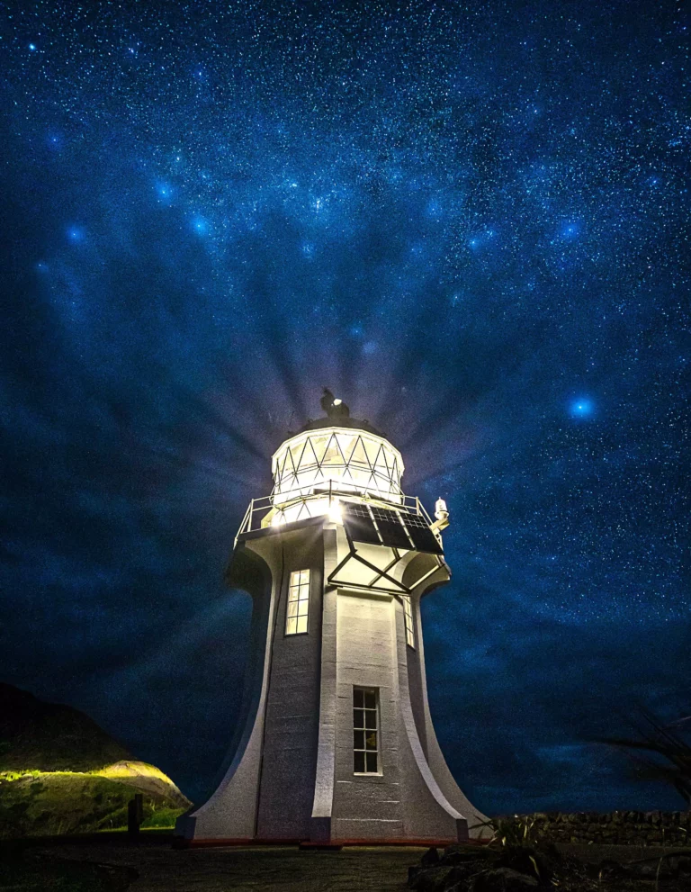
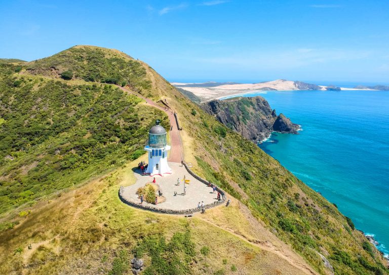
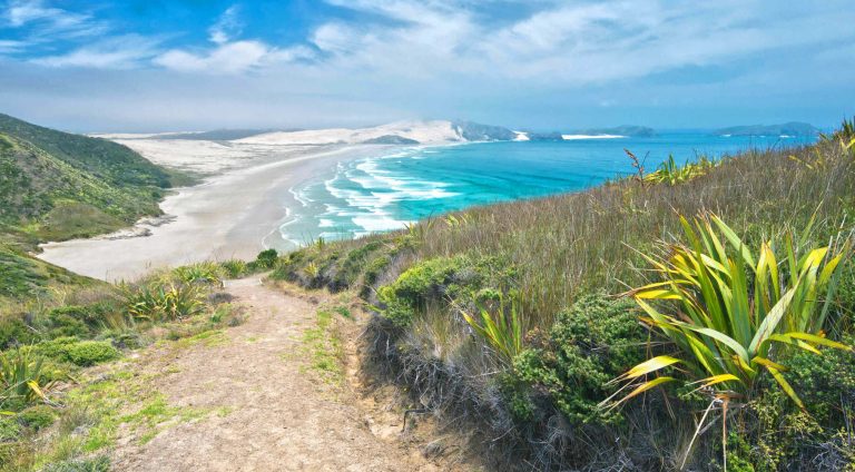
  • Cape Reinga Lighthouse and the top of Aotearoa New Zealand
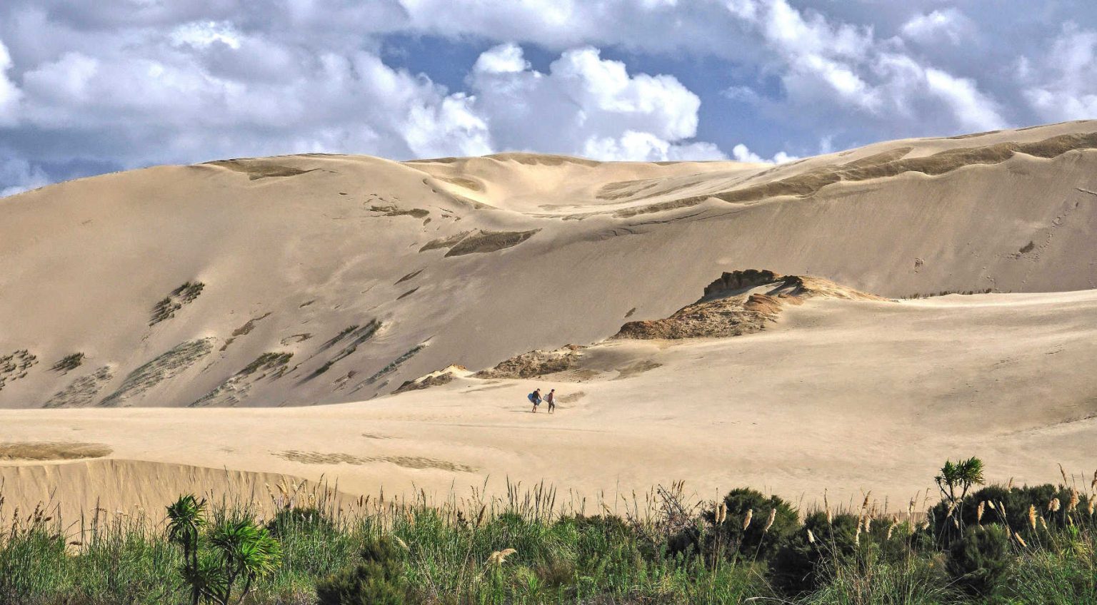
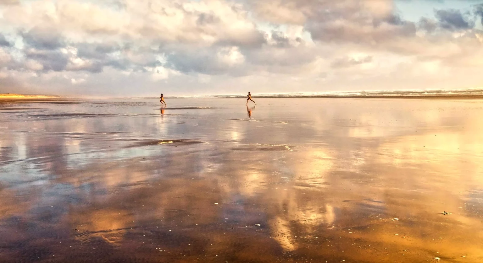
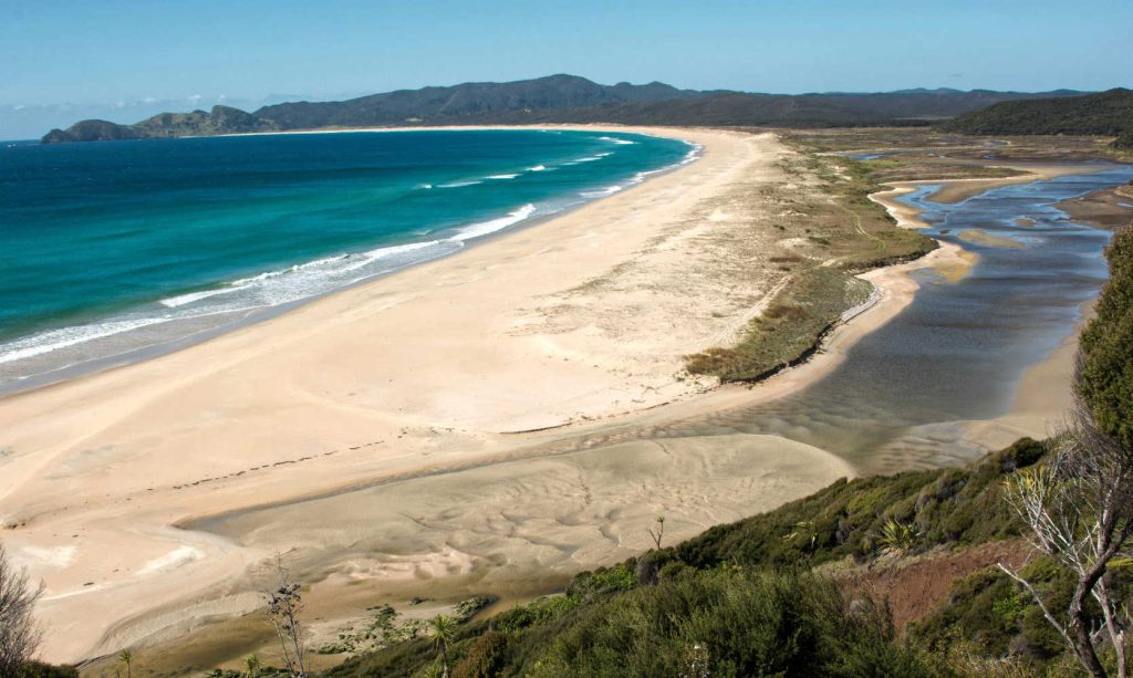
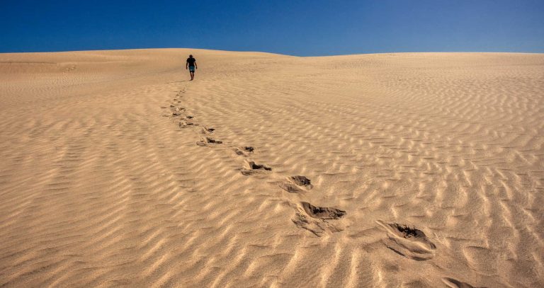
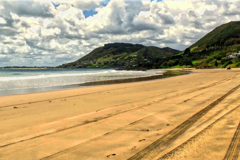
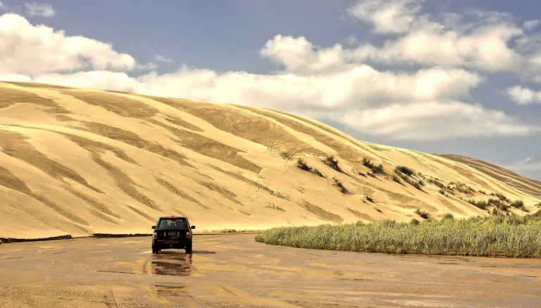
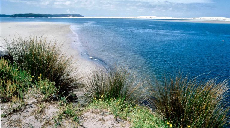
  • Ahipara and Shipwreck Bay where gumdiggers once launched reefers to export kauri gum now surfers experience some of the best swells in New Zealand
  • Ahipara arts and craft centre is a mere 14 km away
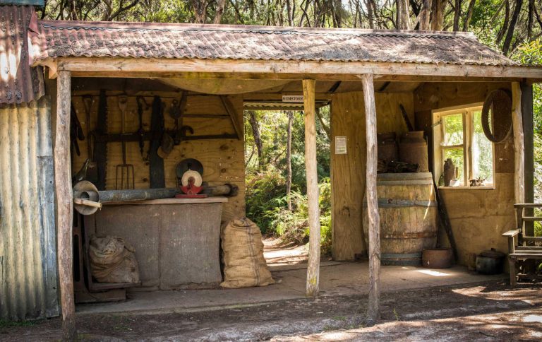
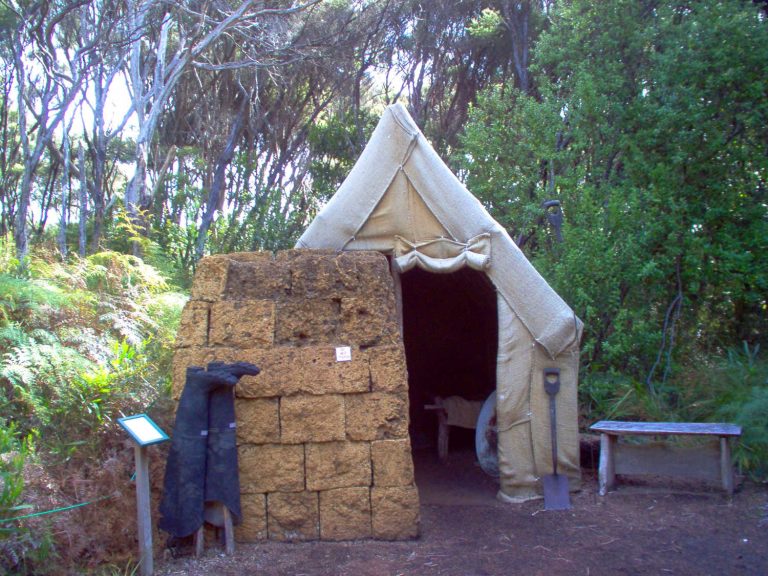
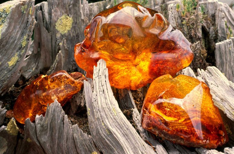
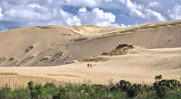
  • Gumdiggers Park, an original 100 historic kauri gum site
  • Mangonui and the best fish n chips in NZ
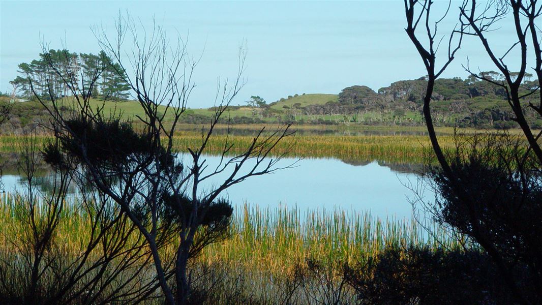
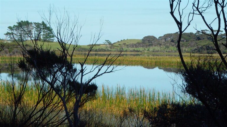
  • Fascinating dune lake Lake Ohia and Lake Ngatu
Cape Reinga Lighthouse 1 km path from car park, Northland, New Zealand
Cape Reinga Lighthousek, Northland

FOR ACCOMMODATION OPTIONS IN KAITAIA CHECK OUT

Shipwreck Bay looking towards Ahipara, New Zealand
Shipwreck Bay looking towards Ahipara

AHIPARA (14 km from Kaitaia)

Ahipara is a natural place to start finding the edges of New Zealand. Ahipara is more than a beach, there is a vibrant local art scene, a picturesque golf course with sand dunes offering challenges and the welcoming vibe of a small community.

Discover a vibrant community nestled among the sand dunes of Ahipara Bay. Ahipara Beach is a safe swimming location and is a local popular spot in summer.

  • Shipwreck Bay, where the kauri gum diggers launched lighters to waiting cargo ships, is now an internationally known surfing beach
  • Golf among the sand dunes, its 18 hole magic and the best place to catch the golfing bug. Full club facilities. All visitors are welcome. Hire clubs and trundlers available.

Towering sand dunes of Tauroa Peninsula are the entrance way to Shipwreck Bay, a well known surf break with consistent rolling swells from the Tasman that are forced to peel a long Reef Point. Of historic interest is the nearby Gumfields Park. Like other parts of Northland, digging and mining of Kauri Gum used to bring money into the area. Until the Gum ran out.

Ahipara is located on the west coast of Northland and the southern end of 90 Mile Beach.

… read more What’s so great about Ahipara.

Gumdiggers Park, Awanui, Northland, New Zealand
Gumdiggers Park, Awanui, Northland

FOR ACCOMMODATION OPTIONS IN AHIPARA CHECK OUT

Lake Ngatu Track @DOC

LAKE NGATU – DUNE LAKE

A great place for families to picnic and enjoy an easy perimeter walk. Lake Ngatu is a freshwater dune lake and recreation reserve.

  • Length: 4 km boardwalk and firm gravel
  • Dogs: on leash

Lake Ngatu Track – Northland

How far away is Ninety Mile Beach from Lake Ngatu?

Walking through to 90 mile beach is 6 km (one way). The walk is signposted. There are several stiles to clamber over and uneven ground.

Check DOC resource for up to date information.

Map of walking track and direction to Ninety Mile Beach

Lake Ngatu is shallow and a great place to paddle board or kayak. There are manuka groves on the shoreline and raupo beds (flax) creating a fantasy world where dab chicks, herons, shags and ducks populate the lake.

The walking track is exposed to the sun. You will need to carry water and sunscreen. There are toilets on either side of the lake. Beautiful big shade trees are perfect for a picnic.

What’s in a name, Lake Ngatu

Lake Ngātu derived its name from the nearby pā after the battle at Te Rangianiwaniwa. Te Aupōuri retreated towards the beach and stopped to wash their wounded and their dead killed in this battle, in Lake Ngātu. They then went up the beach at Ngāpae. From this time, the name of this maunga (Puke Ngātu Pā) for te iwi o Ngāi Takoto, was applied to the lake.

Source Lake Ngātu – Our Natural Treasure

Polished kauri gum, Gumfields Park, Northland, New Zealand
Polished kauri gum, Gumfields Park, Northland

GUMFIELDS PARK, NORTHLAND ATTRACTION, THINGS TO DO

Extractive industry. Similar other parts of Northland, digging and mining of Kauri Gum used to bring money into the area. Until the Gum ran out. Gumdiggers Park is an attraction based around an original 100 year old digging site for kauri gum. The area is also known as Kaikino Swamp. Gumdiggers Park is part of the once much larger Aupouri Gumfields; the largest Gumfields in the country. The last kauri gum was extracted in the 1950’s.

Gumdiggers Park top sights:

  • Recreated shacks and raupo (flax) huts
  • Original kauri gum equipment for extraction and processing
  • Gum store for supplies
  • Massive swamp kauri logs over 100,000 years old
  • Walking through the gumfields
  • Northland green gecko breeding programme
@GumdiggersPark
Gum diggers at work in kauri forest, Gumfields Park, Northland
Cape Reinga Lighthouse at Cape Reinga, the northernmost point of the North Island of New Zealand
Cape Reinga Lighthouse

WHAT TO DO NEARBY GUMDIGGERS PARK, NORTHLAND?

Cape Reinga is up the road (approximately 90 km) and the tip of Aotearoa New Zealand. Ahipara and Kaitaia are the nearest towns with arts, crafts and surfing beaches.

… read more Gumdiggers Park, attractions and things to do

CAPE REINGA TOP SIGHTS

  • Tidal tussle between Tasman Sea and Pacific Ocean
  • Te Paki Reserve with its massive sand dunes and coastal walks
  • Cape Reinga lighthouse is about 961 ft (292.9 m) above sea level
  • The Pohutukawa tree, at the tip of the Aupouri peninsula is estimated to be 800 years old. The tree is where spirits slide their way down into the sea on their way to their ancestral home.
  • Cape Reinga sunset or sunrise is stunning
Te Paki track DOC signage, Northland, New Zealand
Te Paki track DOC signage
TIP

Cape Reinga can feel ‘crowded’ with land reduced to a jagged peninsula and a narrow path to the lighthouse. For an authentic solitary experience arrive either before or after the tour buses have disgorged their inhabitants – before 11.00 am for after 3.00pm in the afternoon.

Immerse yourself in a world where the ocean reduces land to a pinpoint creating an end of the world feeling.

Ninety Mile Beach gravel road leading to access to Te Paki dunes, Northland, New Zealand
Gravel road leading to access to Te Paki dunes, Northland

TE PAKI RECREATIONAL RESERVE – POU TRAIL

As you travel towards Te Rerenga Wairua (Cape Reinga) you see pou (large posts) indicating places of interest to stop and learn about the specific stories for each pou as you soak up the views. The design of the pou’s panels is accompanied by an information plaque. There are four stops (Pou 1 to 4) as you travel towards Te Rerenga Wairua (Cape Reinga).

TE ARAROA TRAIL HIKING AOTEAROA NEW ZEALAND

For detailed notes about the trail, Cape Reinga to Ahipara section check out New Zealand’s Trail. While a PDF or downloaded version is a great idea, remember to check the website for up to date information before you commence each section.

TE PAKI SAND DUNES – SANDBOARDING ADVENTURE

Hills of gold sand beckon visitors to hop on a sand board and career down the slope. Your hair, clothes and footwear will be filled with sand. It is an extraordinary sight, the desert landscape butting up against green pasture dotted with sheep.

Sand boarding Te Paki Sand Dunes, Northland, New Zealand
Sand boarding Te Paki Sand Dunes, Northland
TIP

Sand is surprisingly abrasive and wears long sleeved trousers to protect yourself from the inevitable spills.

And for those who don’t wish to trudge up the gignatic shifting sand dunes there are great views of the gold dunes, the green pasture fields and sandboarders from the carpark… read more about Te Paki Sand Dunes, getting there and tips for sand boarding.

Ninety Mile Beach, Northland, New Zealand
Ninety Mile Beach, Northland

NINETY MILE BEACH, ATTRACTIONS, THINGS TO DO AND GETTING THERE

Discover a drivable beach that is not 90 miles, rather 55 miles or 88 km in length. The southern edge of the beach is Tauroa Point headland, past Ahipara Bay. The wide stretch of low tidal sand is hard packed and drivable with a 4W4 vehicle.

  • West coast beach characterised by driftwood, rolling surf and sand dunes
  • Ninety Mile Beach’s major claim to fame is the enormous Te Paki sand dunes and its route leads to the iconic Cape Reinga Lighthouse

BEYOND CAPE REINGA  – PARENGARENGA HARBOUR AND EASTERN BEACHES (RARAWA)

TE WERAHI BEACH, NORTHLAND

A surprise at Cape Reinga, Northland is a mere 45 minute walk. Find a quiet empty glorious beach at Te Werahi Beach. From Cape Reinga/Te Rerenga Wairua, a 2 km track follows the West Coast leading you down past steep cliffs to the long, sweeping Te Werahi Beach. This section makes a nice short walk or half day excursion. At Te Werahi you will notice the coastline is wilder than the secluded north/east coast bays.

Te Werahi Beach with outline of Te Paki Coastal Track, Northland, New Zealand
Te Werahi Beach with outline of Te Paki Coastal Track, Northland
Spirits Bay Waitahora lagoon behind the sand dunes of Spirits Bay, Northland, New Zealand
Spirits Bay Waitahora lagoon behind the sand dunes of Spirits Bay, Northland

SPIRITS / KAPOWAIRUA BAY

Spirits Bay is the home of departed Maori spirits before their journey to their ancestral home. The wide 10 km sandy beach is over 9 km in length creating an otherworldly place where the beach reaches to the horizon. Behind the beach is Paranoa Swamp, Spirits Bay wetlands home to the rare fernbird.

RARAWA BEACH, NORTHLAND ATTRACTION

Remote camp site favoured by bird watchers and visitors after quiet outdoor space. The natural dune ecosystem has native pingao and spinifex plants. Birds nest among the dunes between August to March. New Zealand dotterel and variable oystercatchers are vulnerable to dogs and people unintentionally disturbing nest sites.

Rarawa beach, New Zealand
Rarawa beach
Parengarenga Harbour white sand shallow beach, Northland, New Zealand
Parengarenga Harbour white sand shallow beach, Northland

PARENGARENGA HARBOUR, NORTHLAND ATTRACTION

Parengarenga Harbour is sheltered from the sea by a 10-kilometre-long promontory of pure silica sand, called Kokota Spit. Parengarenga Harbour is an outstanding example of a largely unmodified northern estuary with a subtropical climate.

NORTHLAND WEATHER

Northland has a moderate climate of warm humid summers, relatively mild wet winters, and prevailing south-west winds.

Rainfall varies from mean measurements of 992 mm at Cape Reinga to 1440 mm at Te Paki with higher rainfalls likely in hillier locations.

Winter is the wettest season of the year, but heavy rain may occur at any time, the heaviest rains are associated with easterly wind conditions. The driest months are January and March, with most rain falling in August.

White sand of Kokota Sandspit, Parengarenga Harbour, Northland Region, North Island, New Zealand
White sand of Kokota Sandspit, Parengarenga Harbour, Northland

This road trip is part of the scenic journeys beyond Auckland to the far north of Aotearoa New Zealand exploring both the west and east coast of scenic Northland.


BEST BITS TRAVEL GUIDE

Best Bits travel guide is published by nzjane.com. Owned and managed by PacificJane Ltd.
x

Enquire

If you have a query about content, travel deals or anything else, our team is happy to answer all your questions 🙂

    Your information is secure, no third party involved.
    100% Safe, secure, privacy guaranteed. Privacy Policy.

    Subscribe