Best time to walk in Hokianga Harbour
- Spring to early Autumn due to stream crossings
- In summer carry water, sunscreen and protective clothing
- Carry insect repellent (wasps) and mosquito repellent
- Inform someone of your walking intentions
- These walks can be conducted solo
@Pompallier
-
Pompallier Memorial Park walk
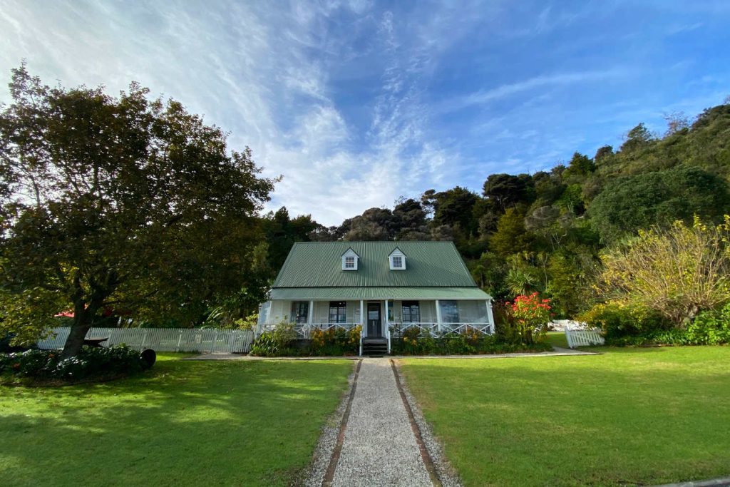
This walk follows the footsteps of Bishop Pompallier. He arrived in Hokianga in 1838 and celebrated the first official Mass in New Zealand on January 13 at the home of the Irish Catholics, Thomas and Mary Poynton. The site is 1km from the main Kohukohu-Mangamuka road and is visited throughout the year. A plinth marks the location. Annually, on the second Sunday of January, a memorial gathering and Mass are held at the site.
Pompallier Memorial Park walk directions
Drive along Twin Coast Discovery route to the entrance of the Pompallier Memorial Park. Approximately 7.5km from Kohukohu. Look for roadside signpost Centennial Plinth Bishop Pompallier.
Park your vehicle and walk across the cattle grid at the entrance. You will view the harbour before it narrows and enters the Mangamuka Gorge. You are at the location of the first mass, overlooking the water. Explore the area further with a short detour at the cattle grid on a track to the water’s edge and look for the jetty stumps. Perhaps this is the place of landing for the Bishop Francois Pompallier, Vicar Apostolic of Western Oceania.
DURATION: 1 hour.
-
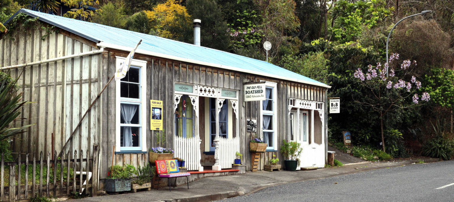
Kohukohu Heritage Trail
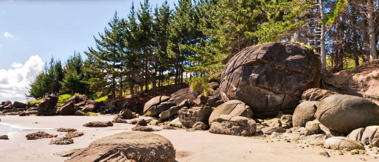
Kohukohu once the home of a bustling harbour trade in Kauri logs with an associated ship building industry. Historic Kohukohu is among NZ’s oldest European settlements and was a major trading centre for Kauri timber export to Sydney and San Francisco in the 1800s.
Kohukohu, North Island
NZ’s oldest stone footbridge and the first Freemasons building in New Zealand. The Masonic Lodge is a three storey building built in the. Look for the Church of St Francis. Kohukohu cannons have a history associated with George Frederick Russell (1809-1855). Kohukohu Cannons are worth a look to think about Russell and his timber business. He married a close relative of paramount Maori Chief Tamati Waka Nene who did much to promote colonization and to establish Queen Victoria’s authority… The story of two people, their interactions is symbolised by the canons, Kohukohu and the quiet buildings now a testament to beginnings of modern New Zealand. The former primary school building circa late 1880’s. Old School photos and brief description.
Collect the Historic Kohukohu Village walk trail from the Kohukohu store and at the library.
Parts of the walk are up steep short streets. You can cheat and drive parts of this walk.
DURATION 1 – 2 hours
-
Six Foot Track (Department of Conservation)
Easy tramp (grade medium) to Framptons Hut to the Waima Main Range Track. You return along the same track. The wide, well graded track with a gentle incline leads into the Waima Ranges. It’s the easiest access to Framptons Hut.
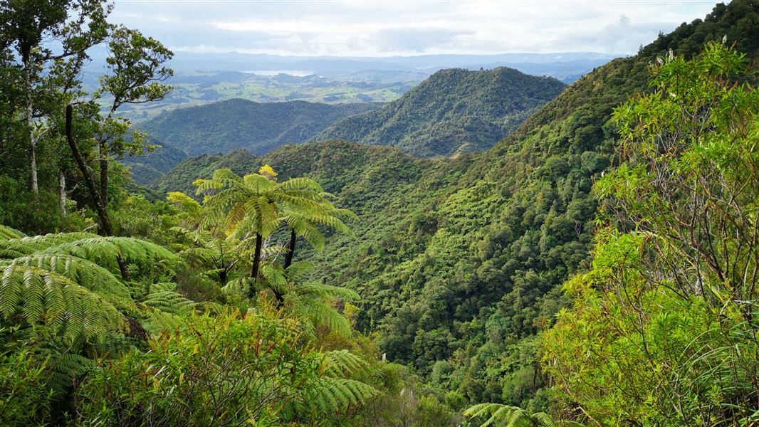
The track follows a tributary of the Whirinaki River through regenerating native vegetation. Mountain streams and small waterfalls cascade down from the ridges above into the valley below. There are some great views north across the Hokianga district. The hut is located in Waipoua/Waima/Matarau forest is the largest intact area of high altitude, kauri, and coastal forest associations in Northland. (information DOC).
Check DOC resource for up to date information.
The track connects with the Waima Main Range Track and the Hauturu Highpoint Track.
- Length: 3.7km
- Duration: 1 ½ hours
- Grade: Easy / Medium
From DOC online resource a description of Framptons Hutt.
FRAMPTON’S HUT
Category: Standard
Facilities: 6 bunk beds, toilets – non-flush, water from tap – not treated, boil before use
Bookings not required – first come, first served.
Getting to Framptons Hut
From Opononi head east on SH12 for 4 km then turn onto Mountain Road. Continue for a further 5 km to the end of Mountain Road.
Six Foot Track: Waima Forest, Northland.
Six Foot Track @DOC / Tasha Oxford
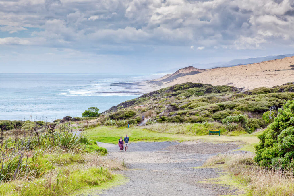
Coastal Walk Arai-Te-Uru Recreation reserve in Omapere
-
Opononi to Omapere Beach Walk
A leisurely walk between two small communities where you can witness the evidence of coastal erosion, the changes time has brought to the area with the disappearance of sandy beaches.
You will walk on sand, alternating with rocky shoreline and, depending on the tide there may be shallow streams to ford. The walk finishes in Omapere where the temptation of the Copthorne Hotel is a great place for lunch, at the Sands Bar to absorb the views and watch harbour activity.
The hotel is known as a great place to watch the sunset over the Hokianga.
-
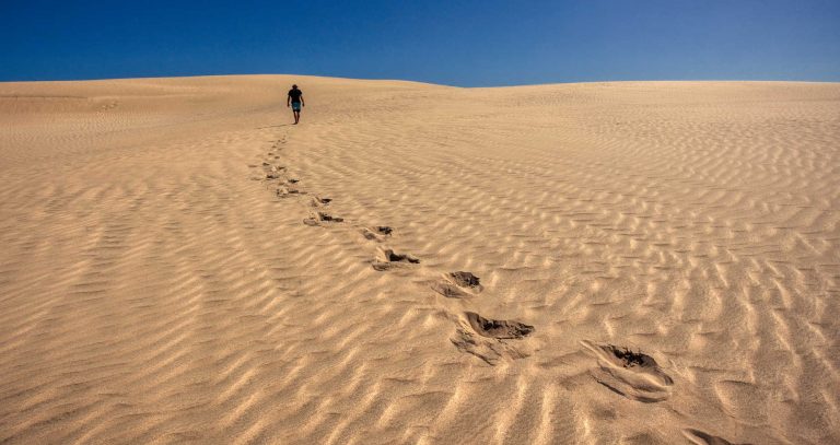
Hokianga Harbour Sand Dunes
Cross the harbour to the sand dunes on the regular boat tours operating throughout the year.
To maximise your opportunities on the dunes start as early as possible. You will be climbing uphill to the dune escarpments through heavy sand which weighs the feet down. Comfortable walking shoes are necessary. Your destination is the North Head’s well known wind sculptures. The contoured shapes formed out of sand are memorising. There are canyons, clefts and cavities and plateaus with contrasting colours and textures. The geography of the area is evident with evidence of forests which were burnt and cleared with the arrival of people approximately 800 years ago. There is evidence of human occupation around this period with shell middens. This walk can be approached from Mitimiti. Contact Awesome Adventures Hokianga for pick up details and tips.
Hokianga Harbour Sand Dunes highlights:
- Observing the geological layers with a thick black layer indicative of a massive forest fire
- Imaging nature’s art forms have a life of their own with shape changing with the wind and rain
- Soaking up the Sahara atmosphere with its contrast of harbour waters and the Northland farmed landscapes

Hokianga Harbour great sand dunes
TRAVEL PACK INFORMATION
These walks acknowledge Walk Hokianga, 36 walks around the Hokianga Harbour and beyond purchased in Rawene. J&L Walker, 2014. Pamphlet with 36 inserts.
As a rule dogs are not allowed on most of these walks as it is either crossing private land or DOC managed land.
BEST BITS TRAVEL GUIDE
Best Bits travel guide is published by nzjane.com. Owned and managed by PacificJane Ltd.